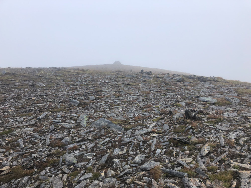
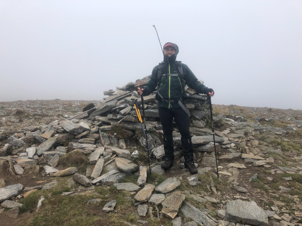
Tom a' Choinnich (1112m) & Toll Creagach (1053m) - 20/09/2021
Distance: 16.5km; Ascent 1096m; Time 5h45m
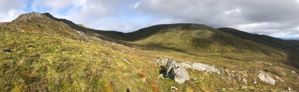
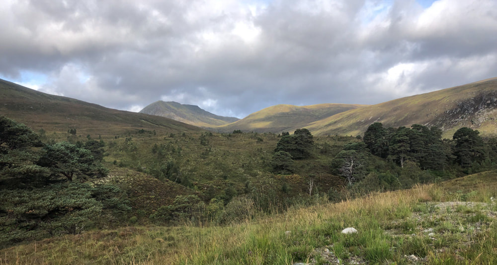
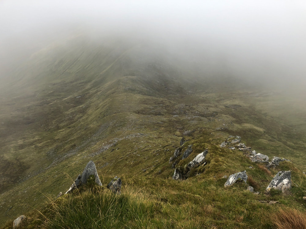
Tom a Choinnich (left) and Toll Creagach (in the shade on right)
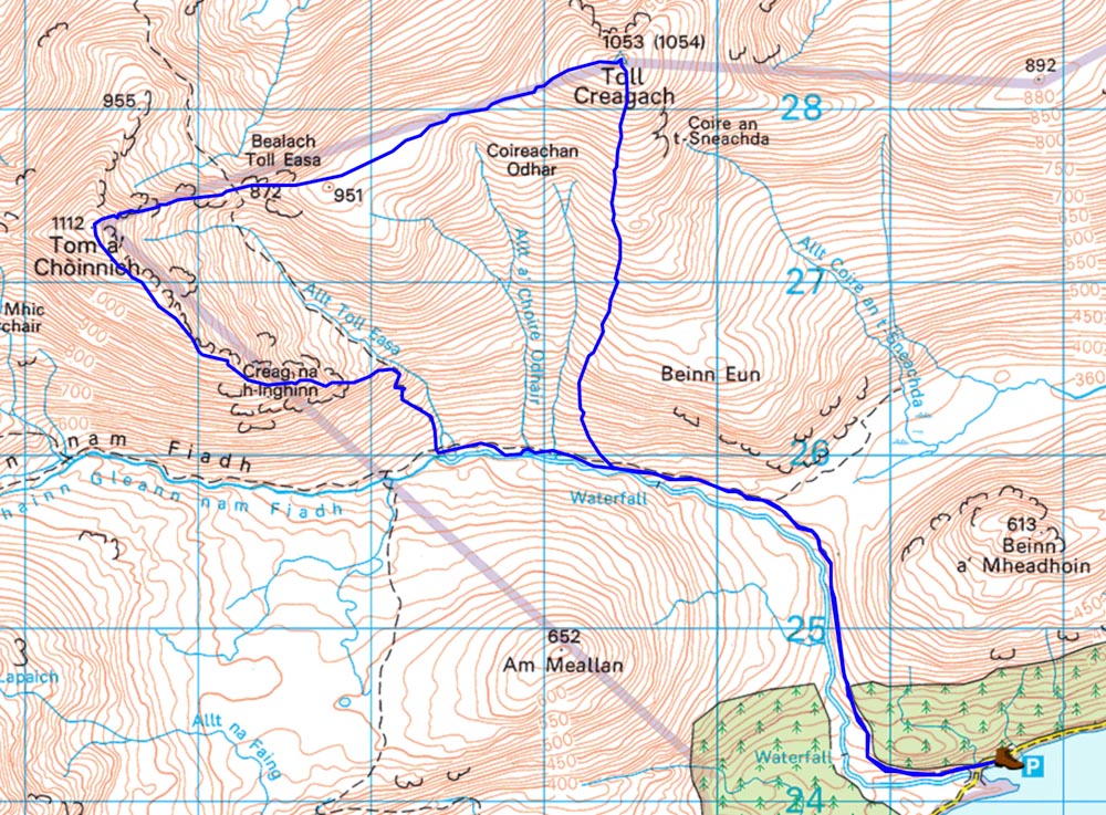
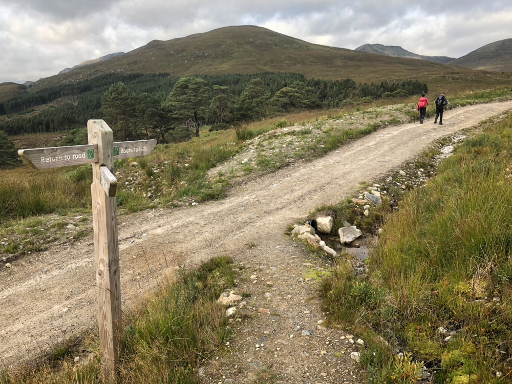
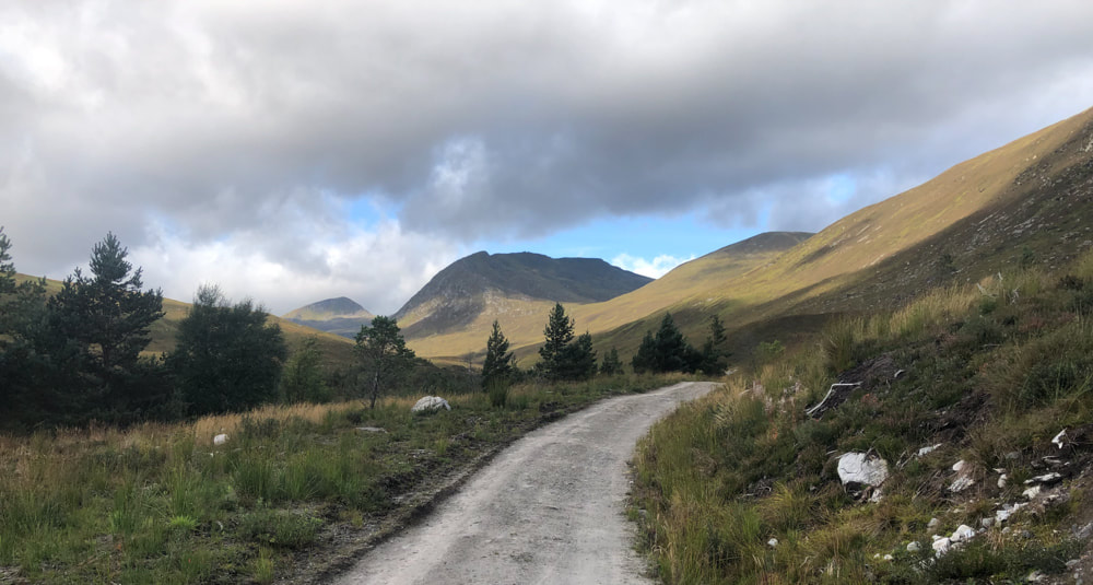
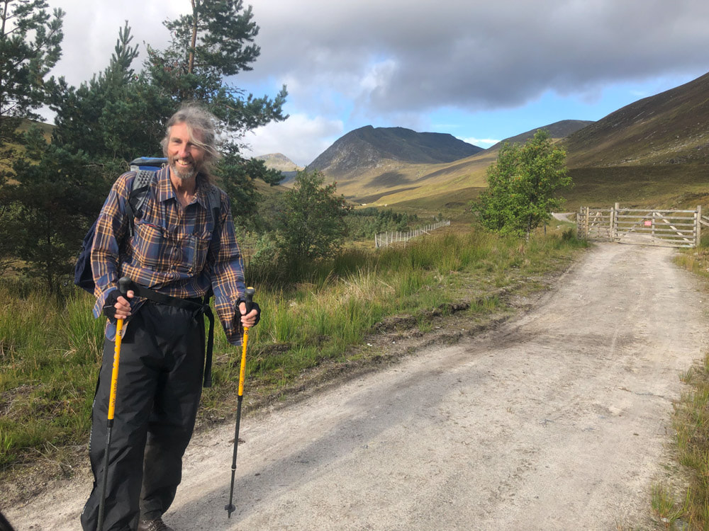
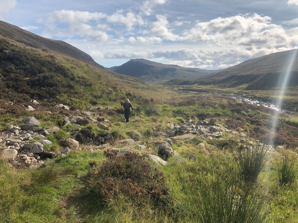
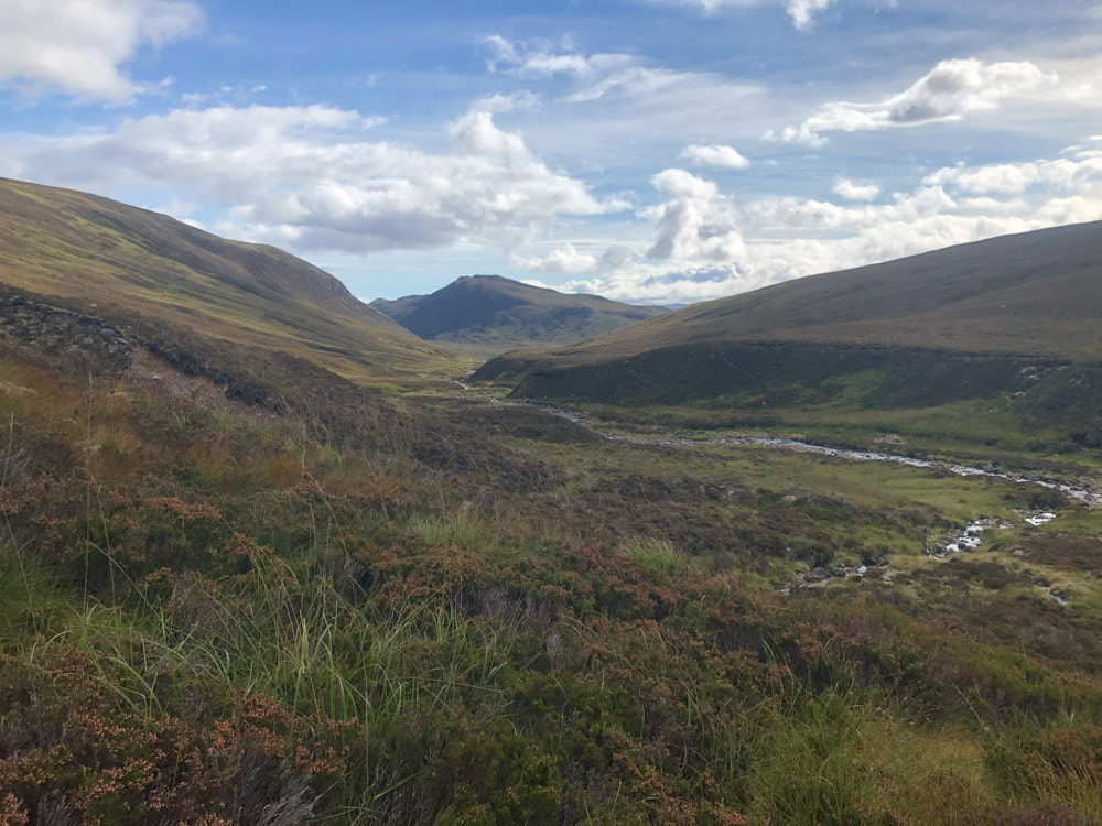
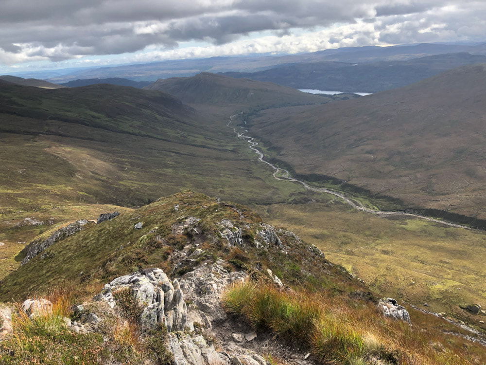
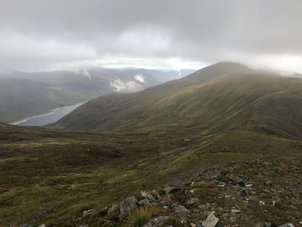
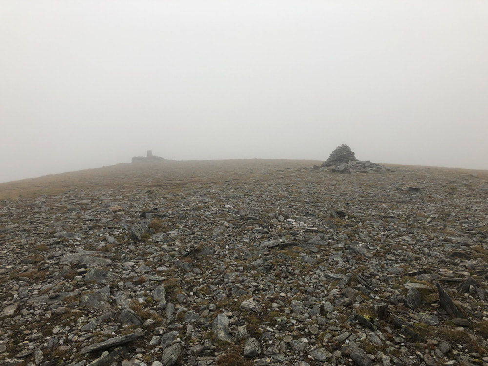
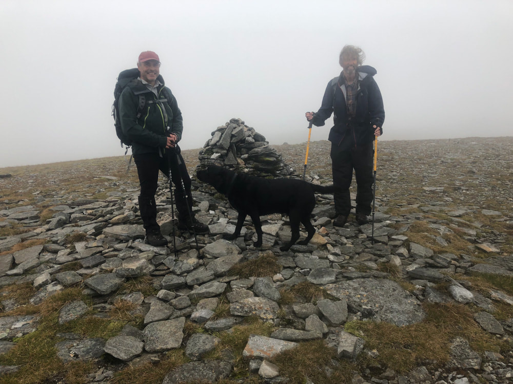
I did this walk with Alan. It starts at Chisholme Bridge on Loch Beinn a' Mheadhoin. A new path from the carpark cuts a corner off the Walk Highlands route map shown above. The path then follows a broad track to a small hydroelectric unit just before the point where the route becomes a circuit (this part of the walk can be cycled). From here a path crosses boggy ground and small streams; once past Allt Toll Eassa the path ascends steeply beside the stream and then onto the long ridge of Creag na' h-Inghinn which continues on to Tom a' Choinnich. The path then descends fairly steeply to Beleach Toll Easa where we stopped for lunch. Here we were joined by "Dave" and his dog Oscar - who stayed with us until we returned to the car park. The rise to the second summit was more gradual. From here the return south is mostly pathless until the ascent path is rejoined.
Click on an image below to enlarge and scroll through