Tolmount (958m) and Tom Buidhe (957m) - 2 Munros - 03/05/2018
Distance: 26km (10km on bike), Ascent: 841m, Time: 6h 30min
(plus 2-3km, ~100m and 1h while lost on the plateau)
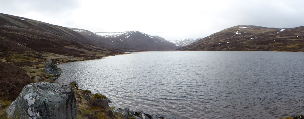
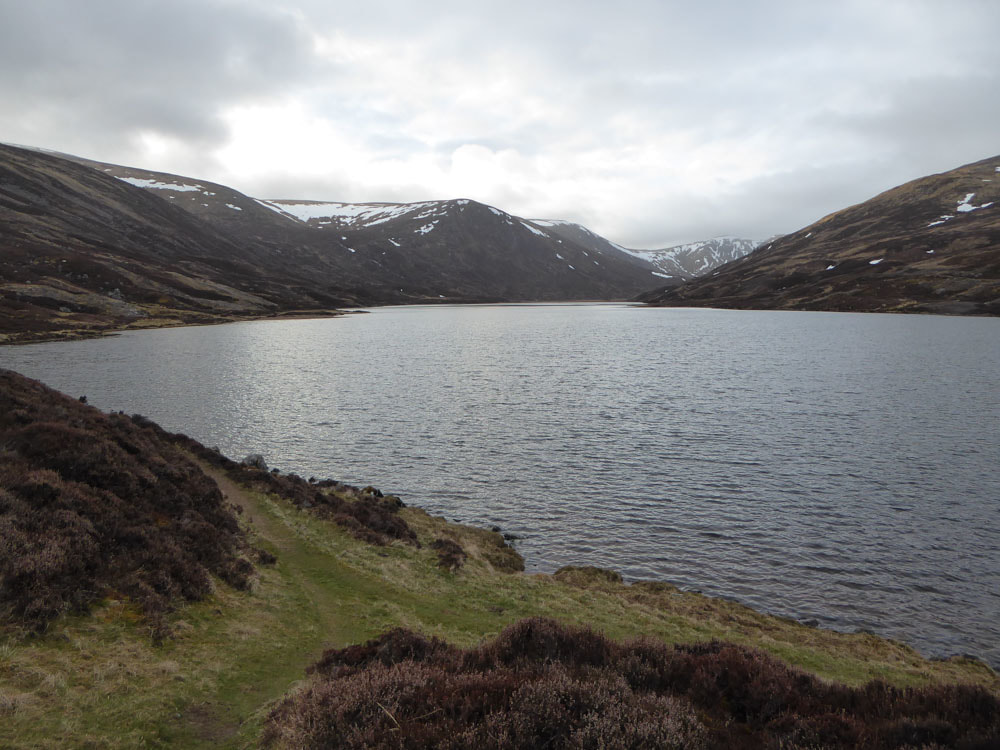
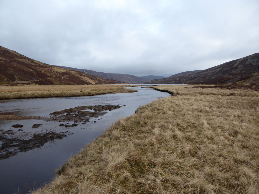
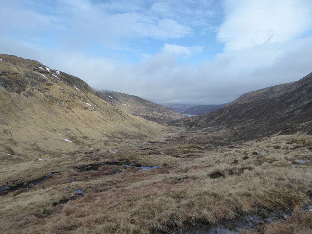
We decided to celebrate the first part of our wedding anniversary separately. Alison stayed at Dinnet and I went off to bag two Munros that were best done with a bike in. The walk starts from a car park at Auchalatter on the A93 just south of Braemar, a 40min drive from Dinnet. I left early and started the ride in at 06:30. The track passes along the Callater Burn for 5km before reaching Loch Callater. Here I secured my bike and switched to hiking boots. I then had a very pleasant walk alongside the loch and on into a fairly flat area beyond it. All along this stretch there were Mountain Hares and Red Grouse, at least 20 of the former and 100 of the latter - more than I've encountered anywhere before! There were at least 3 pairs of Common Sandpiper on the loch shore and several pairs of Wigeon, Curlew and Oystercatcher. The summit of Tolmount could be seen a long way in the distance (the snowiest peak right of centre at the head of the valley in the image above). The bulk of the route, as far as the Cairngorm plateau is on 'Jocks Road' - a path that leads ultimately to Glen Clova (where we spent the night of 04/05 and walked on 06/05).
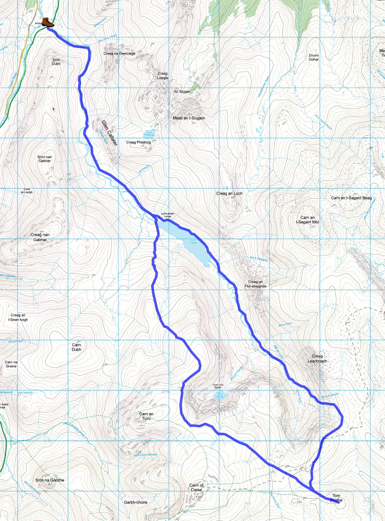
The Walk Higlands route map. The summit of Tolmount is not marked, but is where the dashed line meets the blue line at the right of the map.
|
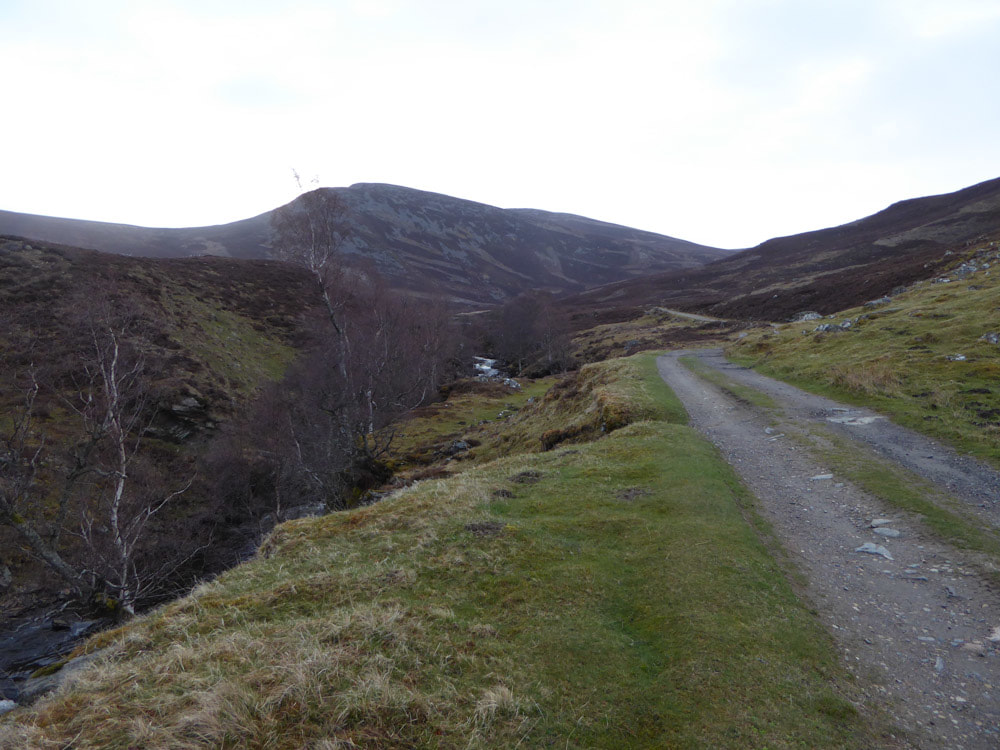
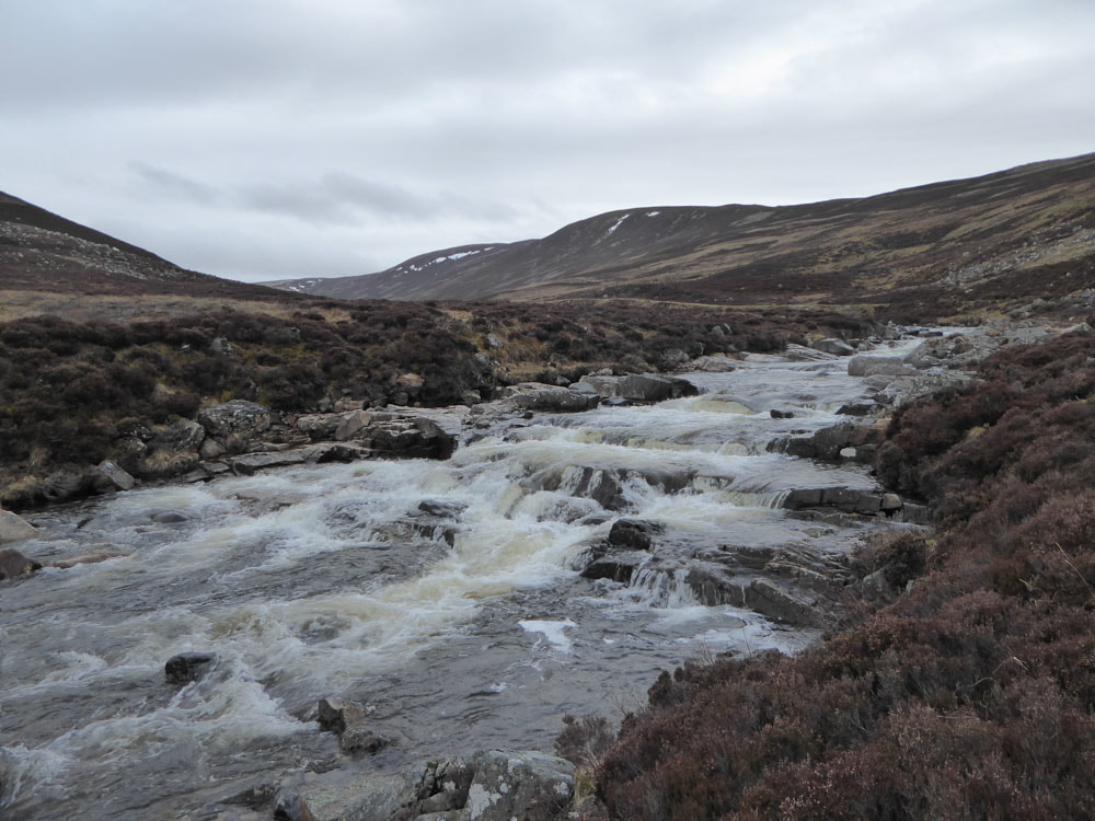
Track to Loch Callater with Callater Burn alongside
|
|
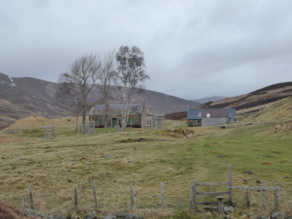
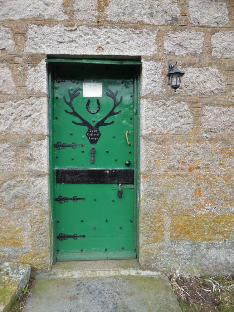
Loch Callater Lodge
|
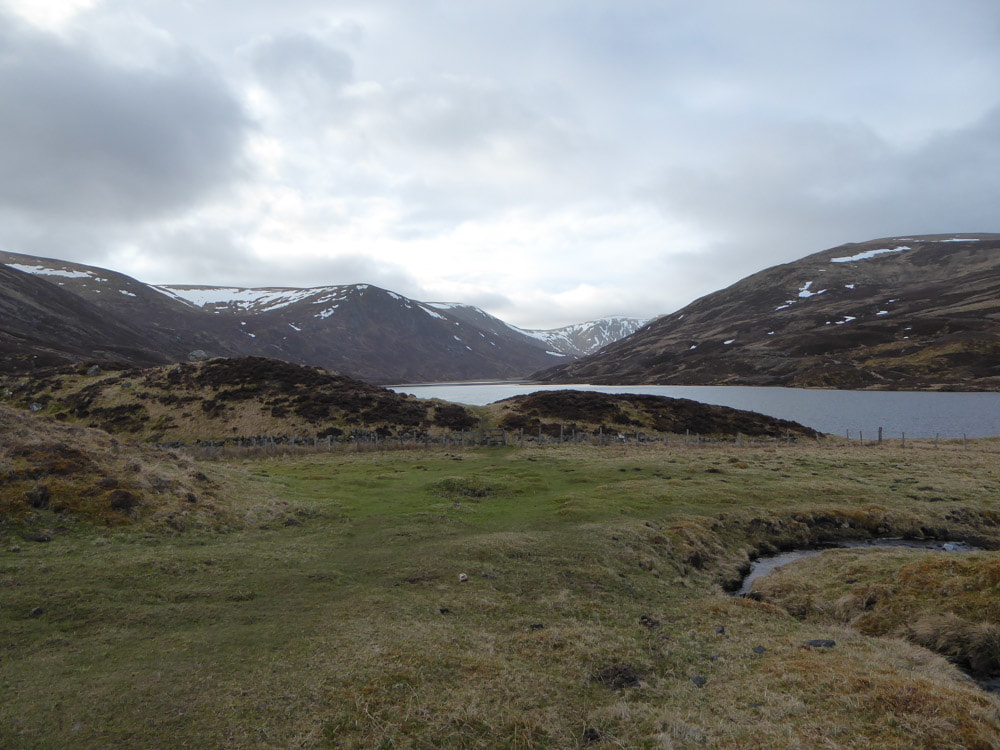
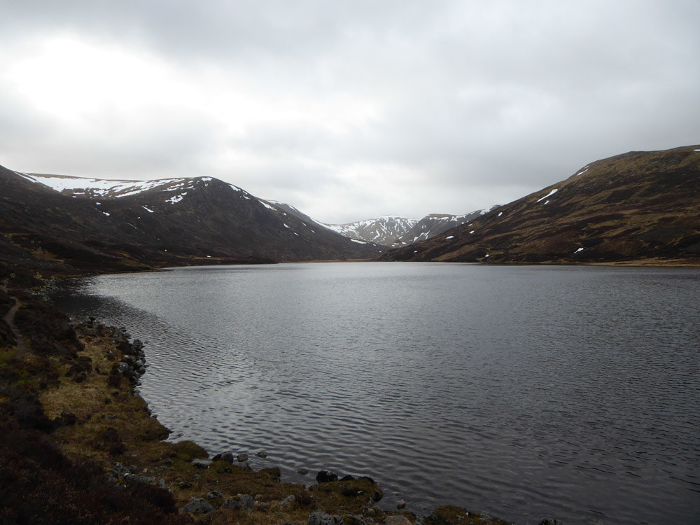
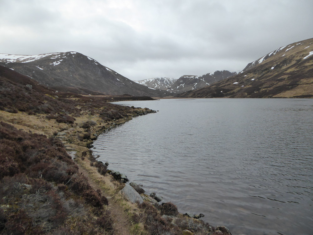
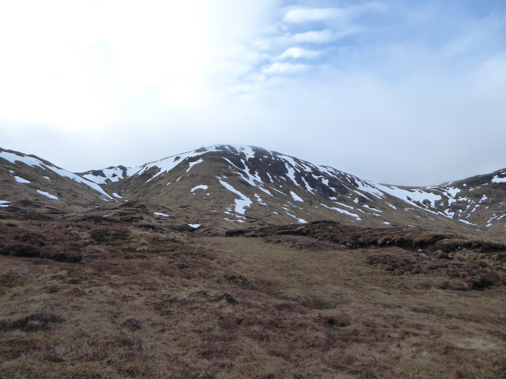
The next few images were taken while walking alongside Loch Callater. Tolmount is the snowiest peak at the head of the valley, It looks lower than the slopes surrounding the loch from this perspective, but is higher.
|
|
|
|
|
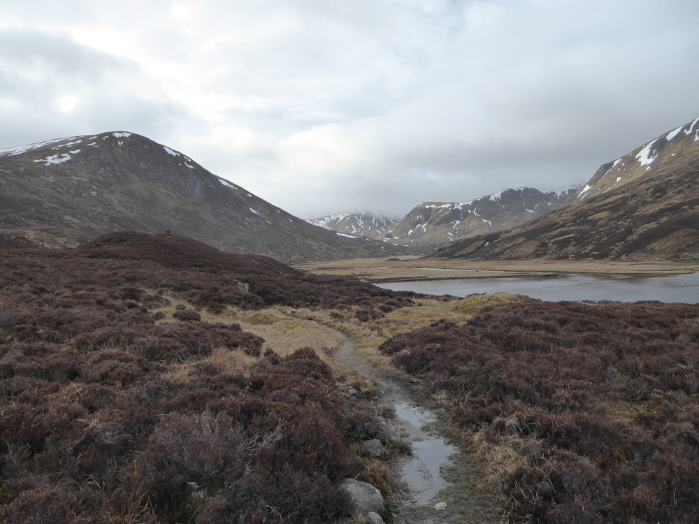
Looking back towards the loch from the plain to its south.
|
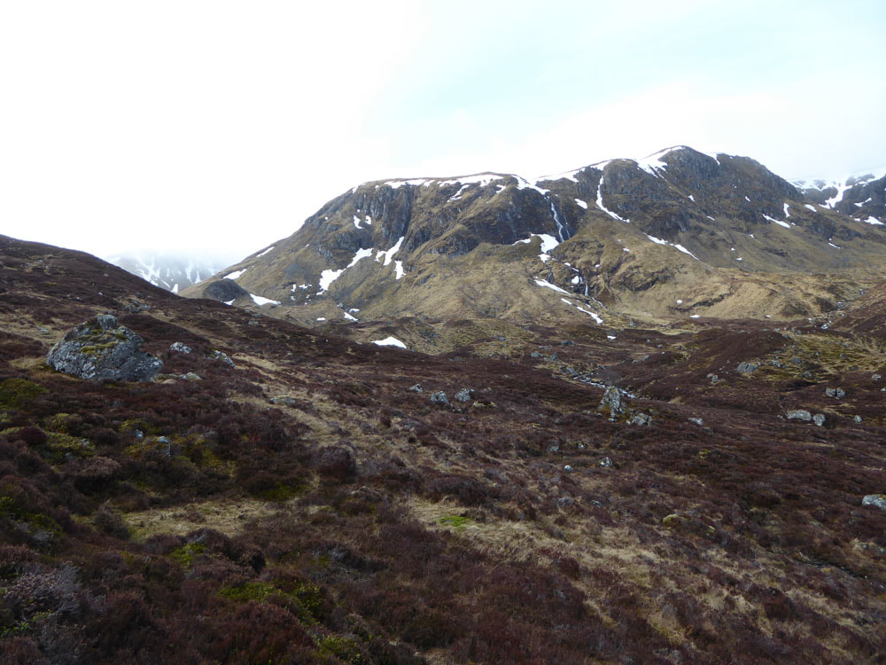
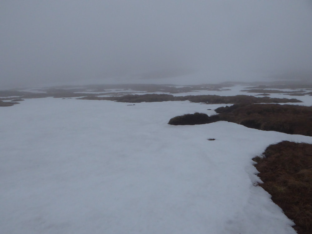
Once beyond the plain the slopes steepened. An impenetrable wall of sheer rock on the left had to be passed before the gradient lessened somewhat to allow ascent onto the plateau. Even then care had to be taken crossing steep snow fields, but generally the terrain was soft and boggy and aside from its steepness not too difficult to get up. The cloud level was mostly covering the summit of Tolmount, but occasionally it was clear.
|
One of the moments when the summit of Tolmount (centre) was clear
|
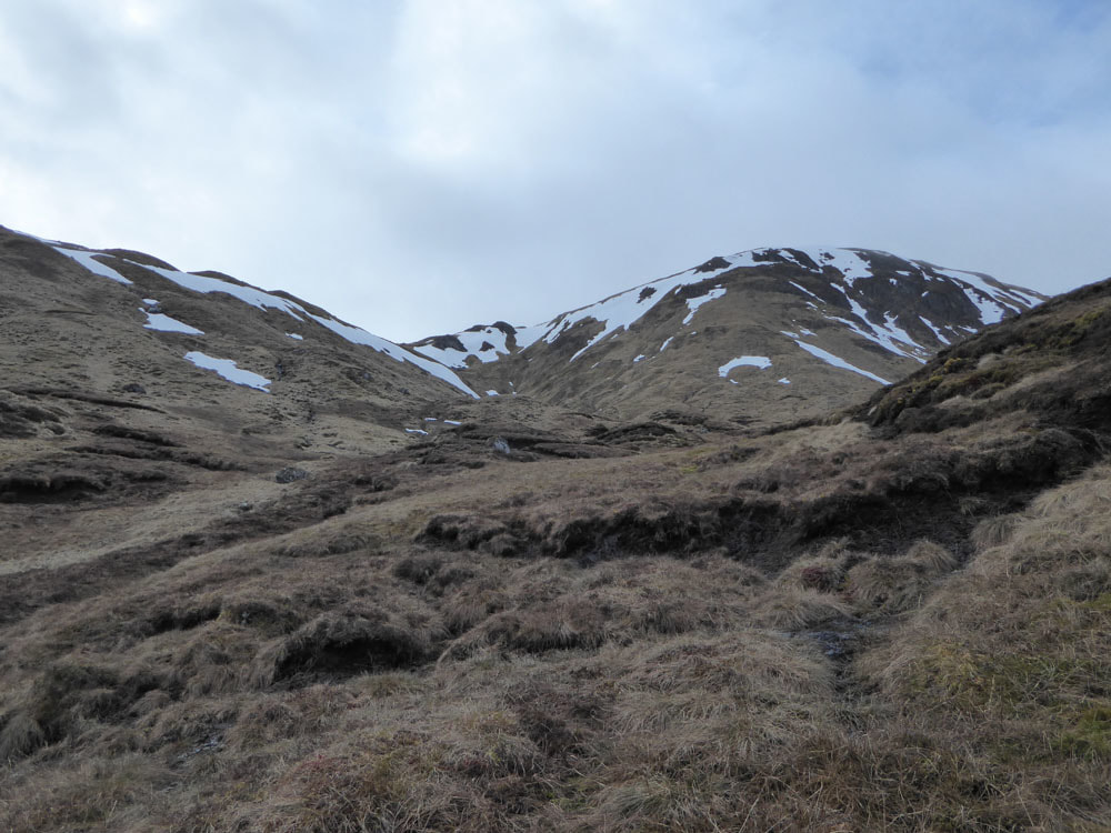
The plateau was gained via the dip in the ridge line left of centre
|
View back towards Loch Callater
|
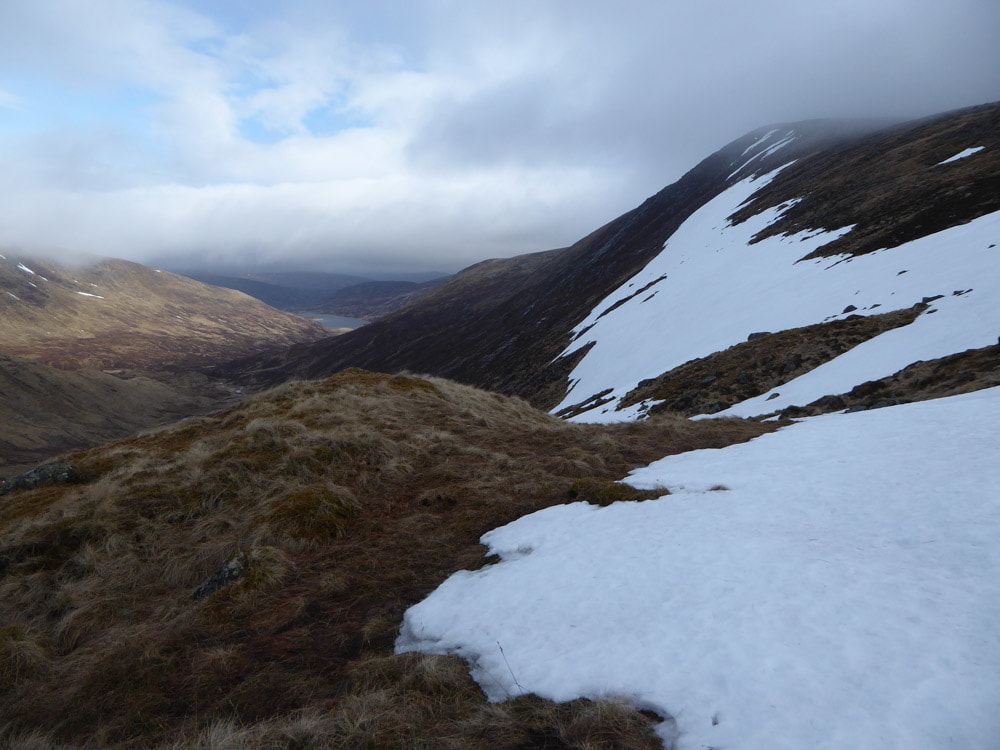
Looking back towards Loch Callater from higher up the slope
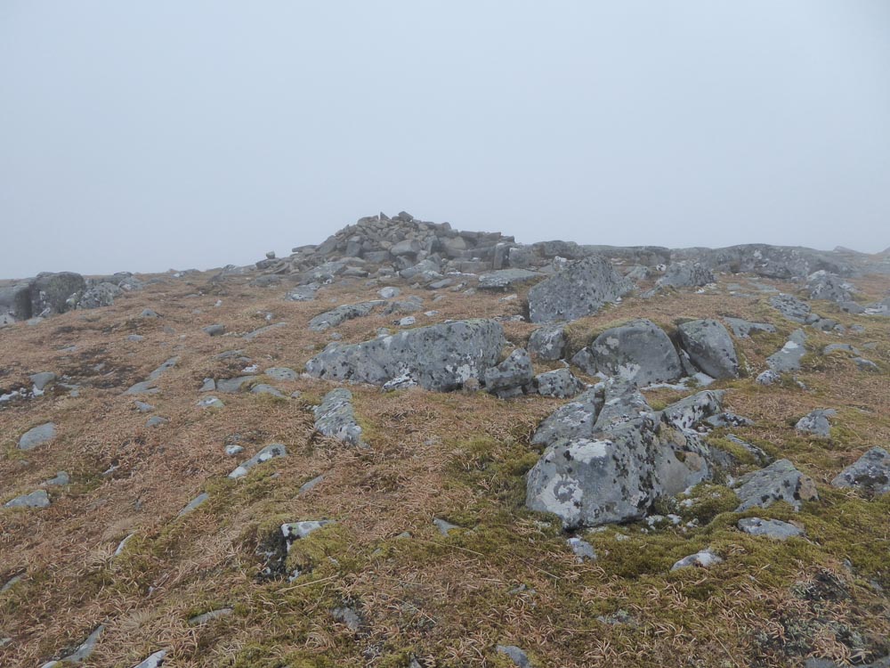
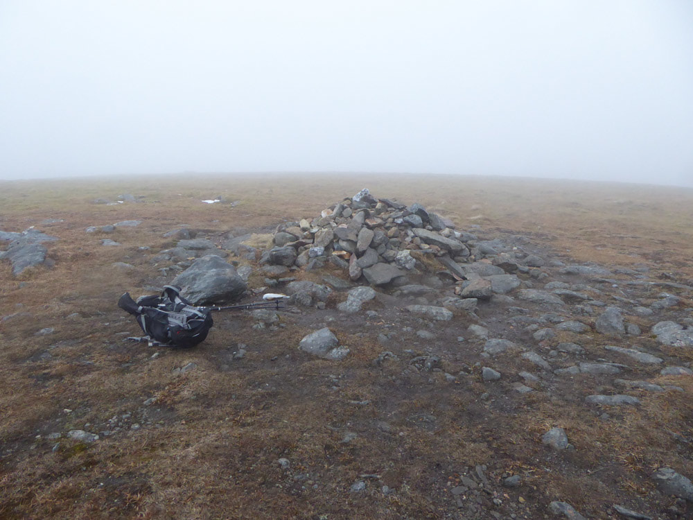
Summit of Tolmount
|
|
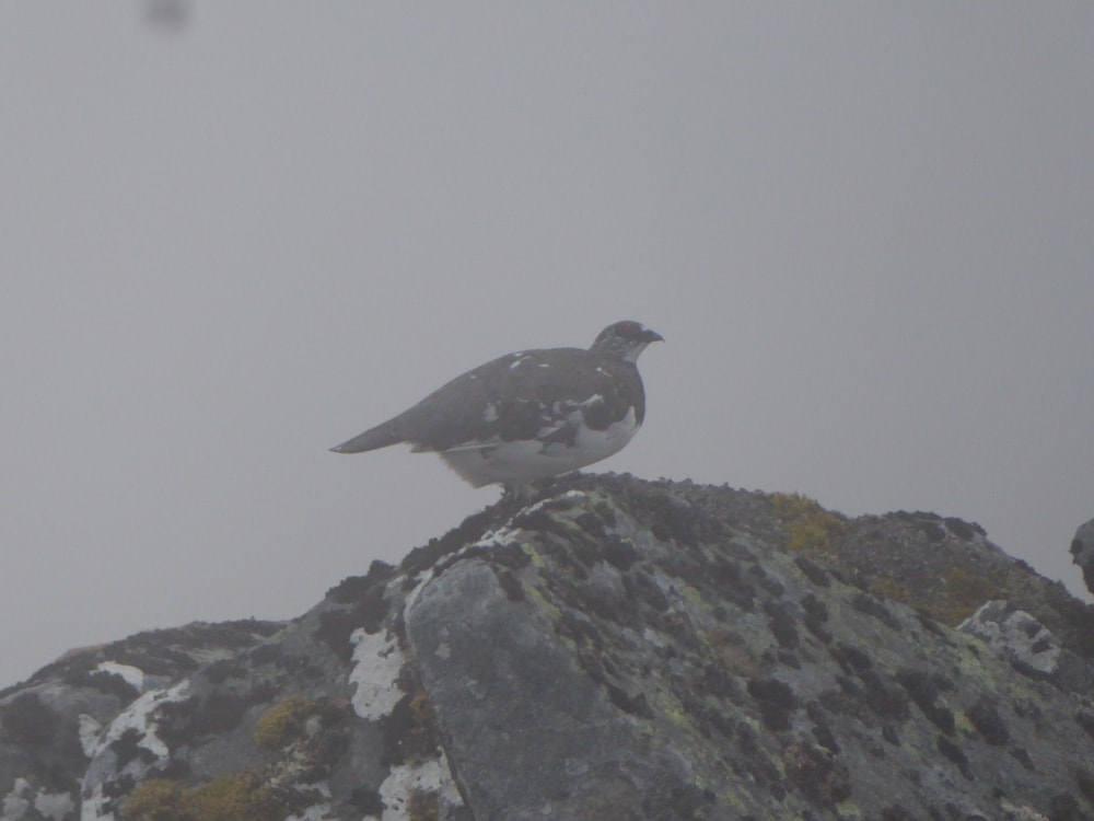
Once on the Cairngorm plateau the path to the summit departed from Jocks Road, which by now was difficult to follow as it became intermittent in the boggy terrain - and visibility was much reduced as I entered the clouds. Neverthless, the summit of Tolmount was easy enough to find, by continuing in a generally upward direction around and well back from the steep slopes to the north of the summit. Once at the summit I stopped for a snack - a Ptarmigan appeared on a rock through the mist.
OK - so to carry on or to quit? It was certainly too risky to attempt the Walk Highlands circuit on pathless terrain in conditions of such poor visibility, but the second summit was only 1.5km away and there was a track for the first part of it. I decide to continue to Tom a'Buidhe but to return the way I had come. So I headed down along a track in the right direction, marked by occasional metal posts, but the track became less distinct and the posts too far apart to see from one to the next. After what I deemed an appropriate distance along the track I headed uphill towards what I assumed would be Tom a'Buidhe, leaving footprints in the snow wherever possible. But I found I was going on up for much further than I should have been. I consulted the map and realised that some of the surrounding slopes were higher than the summit of Tom a'Buidhe and consulted my compass and found I was headed in exactly the opposite direction to the one I thought I was going in (I think I was ascending Cairn of Claisse). I retraced my steps to a path I had turned right onto and this time followed it in the opposite direction - it still didn't seem to be going in the right direction. I now realised I was lost on the Cairngorm plateau with very little visibility, no sense of direction and no recognisable landmarks - snowfields and boggy pathless terrain everywhere I tried. At this point I abandoned all thoughts of reaching Tom a'Buidhe and turned my attention to getting down safely. I knew the approximate direction of Loch Callater relative to the plateau and I thought that the beleach between Tolmount and Tom a'Buidhe was the lowest area in this part of the plateau, but I also knew that the cliffs to the north of Tolmount (in the direction of loch Callater) could not be descended and that I had to go back over Tolmount to find my way down. Although I had now been wandering for an hour I wasn't quite ready to call Mountain Rescue - and I had seen and heard at least 3 Dotterel, so it wasn't all bad. So I walked downhill in the direction of Loch Callater until I came across a track which I took uphill to the right in the hope that it would lead me to something I could recognise. After about 20 minutes I came to a summit cairn - but it was not Tolmount. I assumed that I had by some fluke arrived at the summit of Tom a'Buidhe. I took a compass direction for where Tolmount should be on the assumption I was at Tom a'Buidhe. The straight-line route was not sensible as it involves a considerable descent and re-ascent and there were steep snowfields to be avoided. I went back on the track that I had come up and then contoured around to where Tolmount should be - this time I found a track that looked like the one I had originally descended from the summit of Tolomount - but I wasn't really sure until I saw the summit itself.
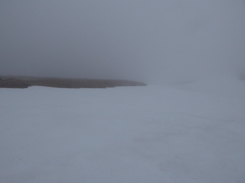
The view and visibility on the summit plateau was pretty much like this in all directions
|
Summit of Tom a'Buidhe
|
The descent from Tolmount was straightforward. The slopes that had seemed steep on the ascent seemed even steeper and more slippery on the descent, but apart from care needed in this section rapid progress was made. The bike out down the track was a joy. At one point I had to break hard to confirm that a bird I glimpsed and heard was a Ring Ouzel.
I was back at Dinnet by mid-afternoon and later we celebrated our anniversary by having dinner in the Loch Kinord Hotel.
I was back at Dinnet by mid-afternoon and later we celebrated our anniversary by having dinner in the Loch Kinord Hotel.
