Geal Charn (Munro) 926m: Wednesday 27th April 2016
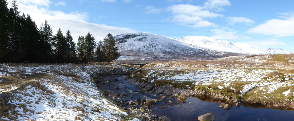
Geal Charn (right of centre) from Garva Bridge
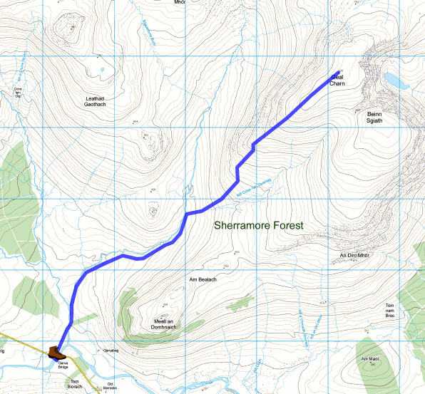
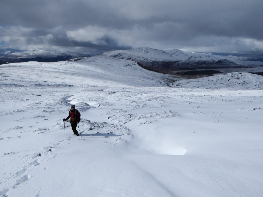
Woke up to find a still, cold, sunny morning with the tops clear. Alison was summoned from her bed at 06:30, we were ready by 07:30 and started our ascent of Geal Charn at 08:30. Geal Charn is in the Monadhliath group of mountains, east of Newtonmore. Access is via a minor dead end road that leaves the A86 (Newtonmore to Fort William) at Laggan and heads off for 6 miles into the hills. The road passes the Spey Dam and its reservoir and ends at Garva Bridge (which is literally just a bridge) where we parked. There was an icy wind and much snow on the ground, so there was a little concern at the outset about the wisdom of our venture – but it stayed dry and mostly sunny and much of the ascent was relatively sheltered from the wind. We started on a path that ascended on the east side of Allt Coire Lain Oig to its confluence with Feith Talagan and then followed the right hand bank of this stream. At the confluence of Feith Talagan with Allt Coire nan Dearcag we crossed the latter and left the banks of both streams to head up the shoulder of Geal Charn. Making a trail through calf deep snow is hard work but we got there. The last 1km of the ascent and the summit plateau were more exposed to the wind and on the plateau the snow depth was shallower where the wind had blown it away. Eventually we made it across the plateau to the summit cairn which provided a degree of shelter. The views all around were magnificent. Walk Highlands give this walk a bog rating of 4/5 but the sub-zero temperatures on the ascent had provided a degree of solidity to the bogginess that had melted away on the descent, which was consequently much wetter underfoot, and also on the knees on one occasion when I slipped over. Distance: 12.5km, Ascent: 625m. Wildlife seen: Red Deer (10), Ptarmigan (1), Red Grouse (~50). We celebrated by having an evening meal out at the Letterbox in Newtonmore.
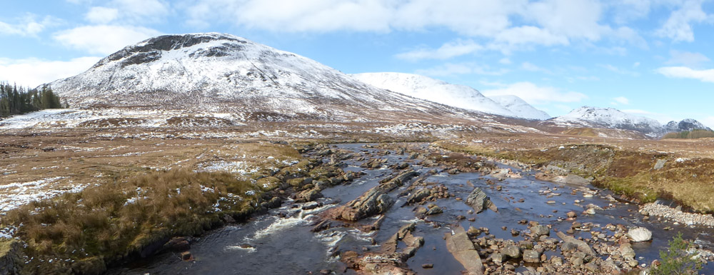
View from Garva Bridge (looking away from Geal Charn)
|
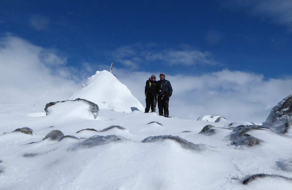
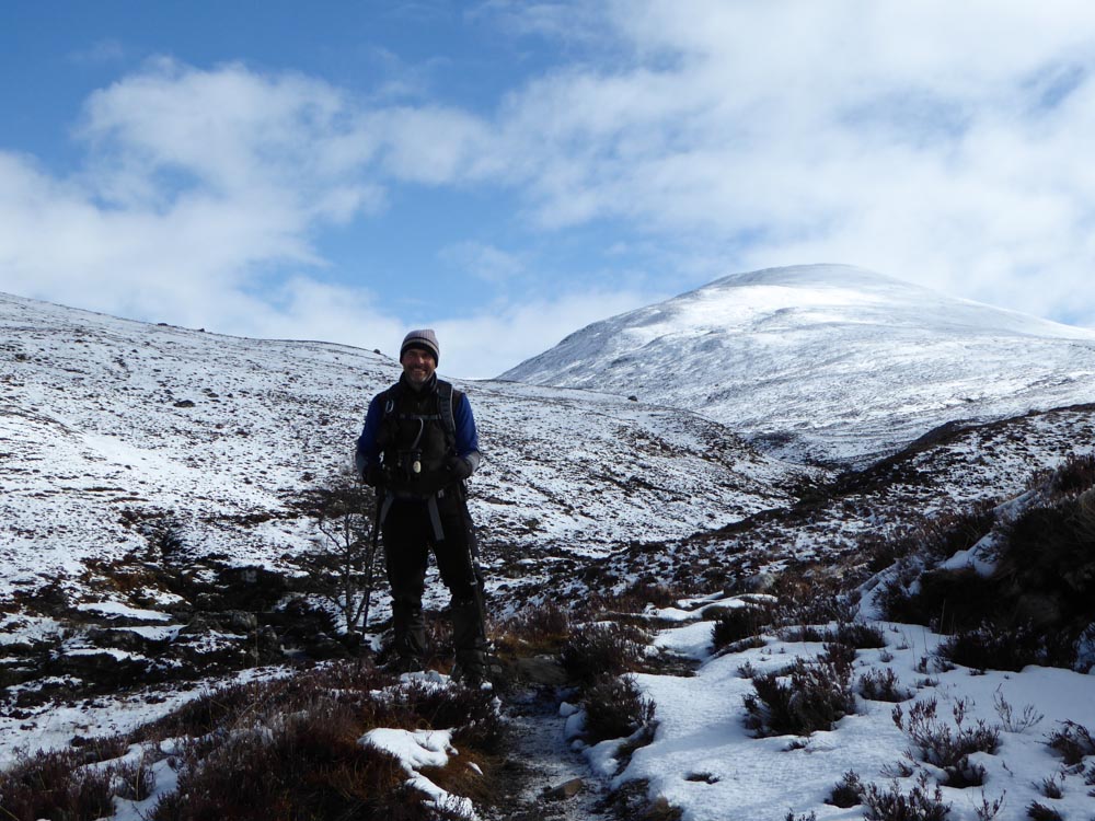
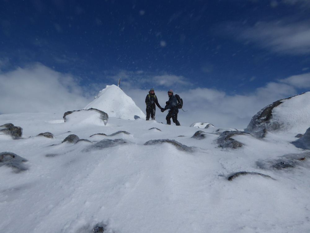
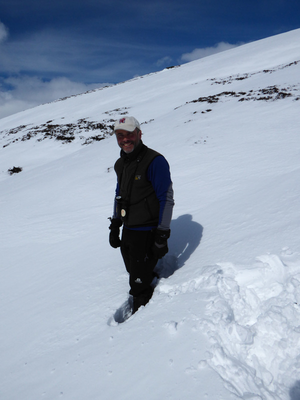
The summit photo (I didn't quite make it for the shutter delay at first attempt)
|
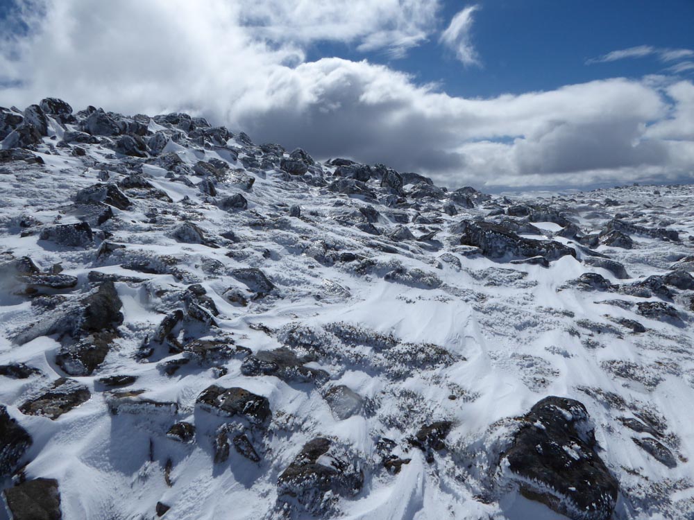
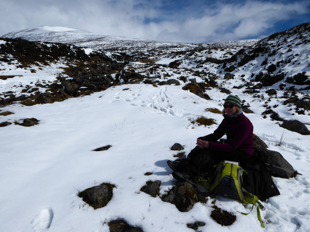
Terrain on the summit plateau
The snow was quite deep in places
|
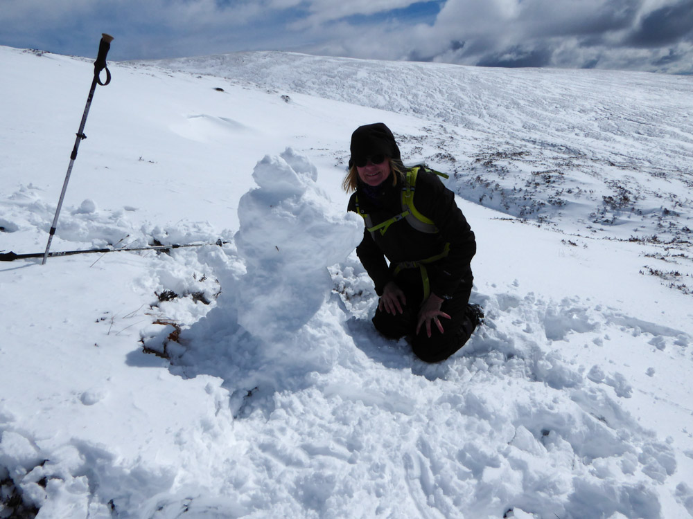
Alison was quite relaxed on the way down and made a snow dog. I thought it was facing left and looked more like a snow devil with a big willy.
|
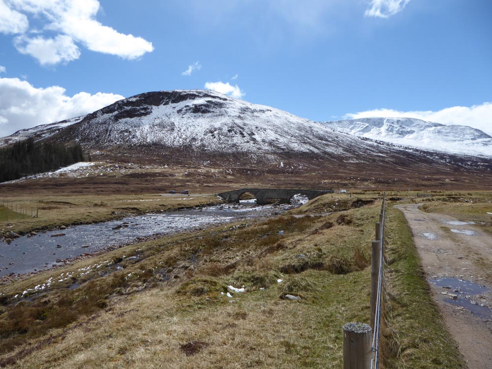
Garva Bridge and the parking area
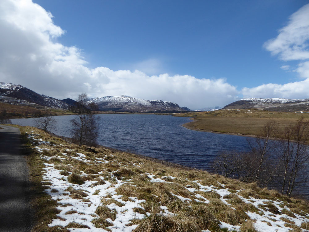
Reservoir behind the Spey Dam
