Day 10: Sombrero Chino and Santiago (Sullivan Bay) - Wednesday January 31st 2018
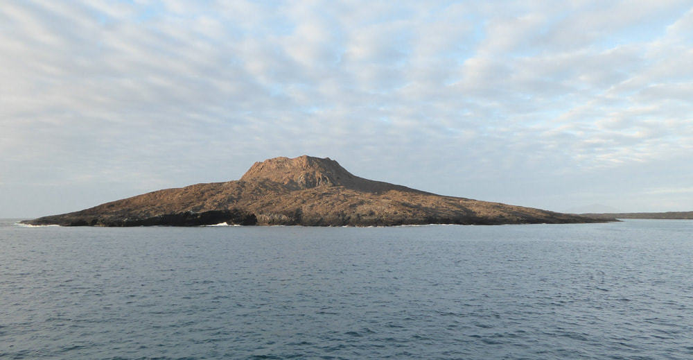
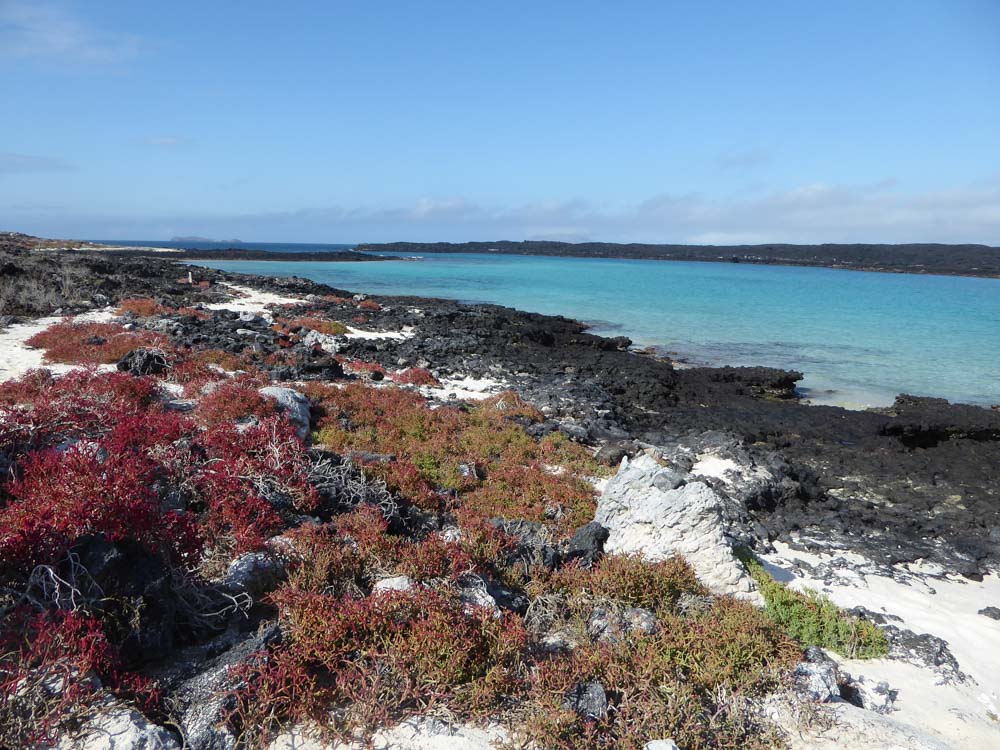
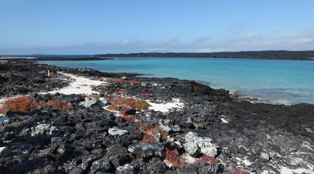
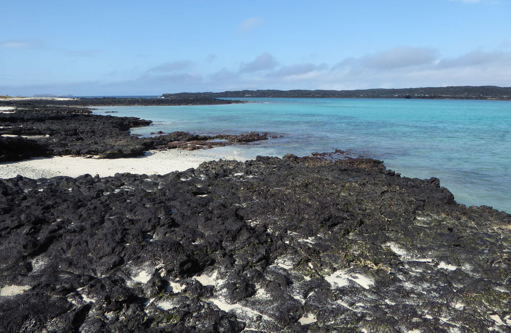
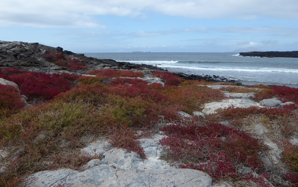
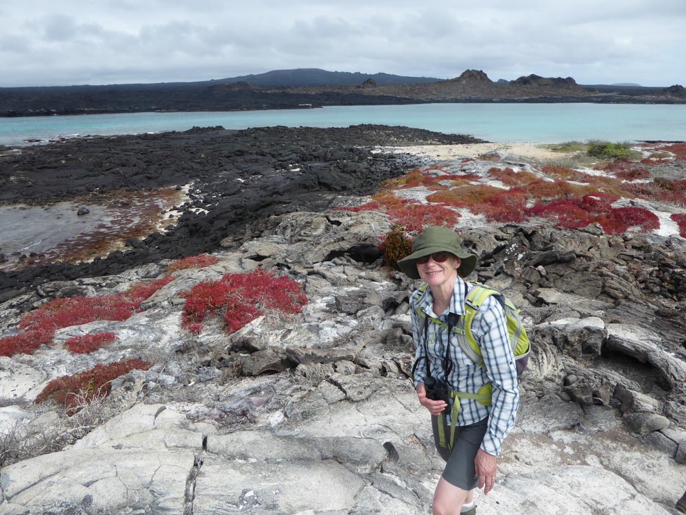
Sombrero Chino (literally "Chinese hat") is an islet close to the SE coast of Santiago Island. We made a wet landing on a beach here. In full sun, with temperatures in excess of 30 degC, Rissel chose this moment to give us a rather prolonged account of his understanding of plate tectonics in relation to the Galapagos Islands - I think this would have better done in the air-conditioned comfort of the Beluga - but he would have risked being asked questions about it there. Eventually, we had a pleasant walk around the shore here and some of us saw our first Galapagos Penguins swimming in the surf.
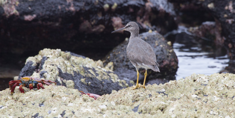
Wandering Tattler (eyeing up a Sally Lightfoot Crab)
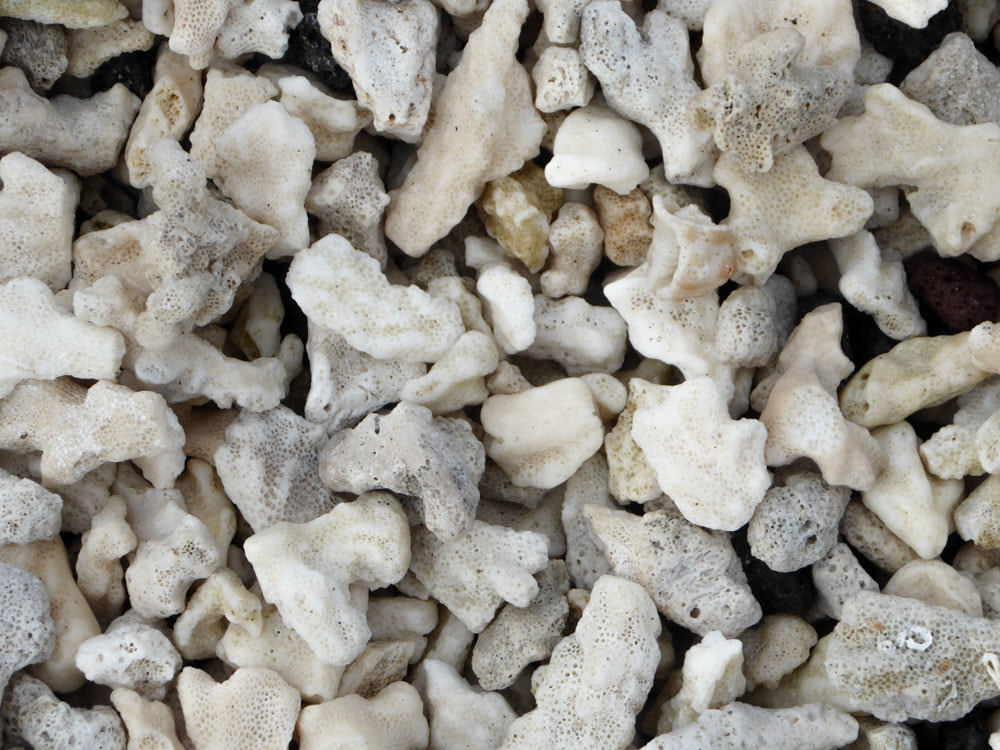
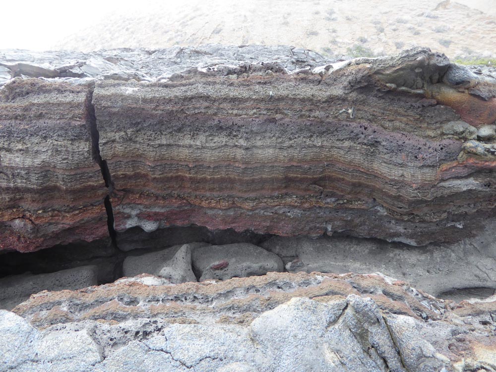
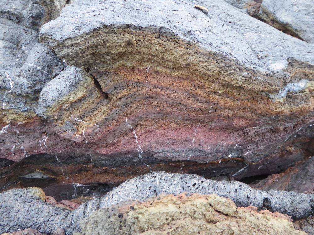
Parts of the beach are formed of broken coral. |
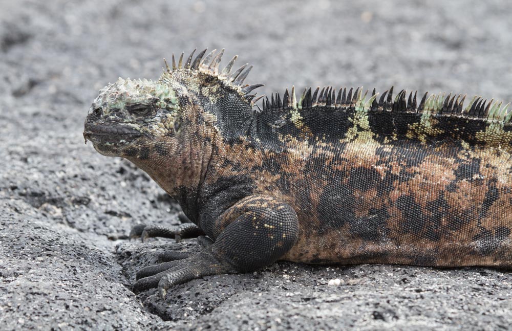
Marine Iguana (mertensi)
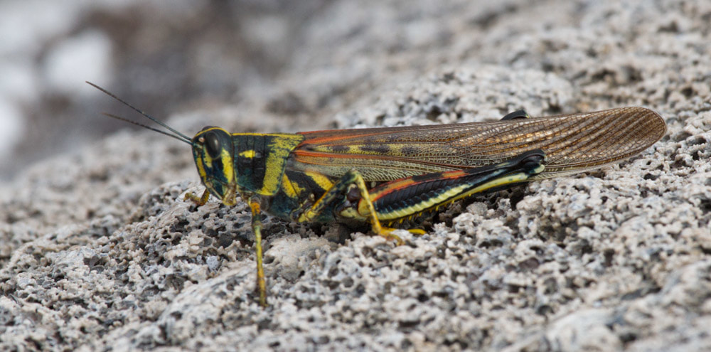
Painted Locust
|
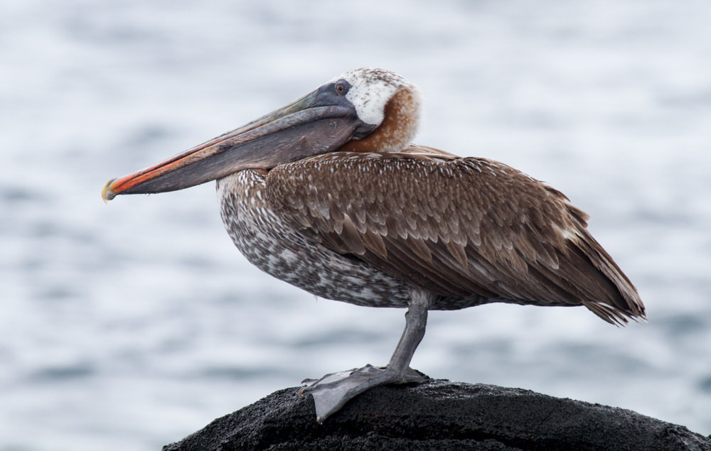
Brown Pelican
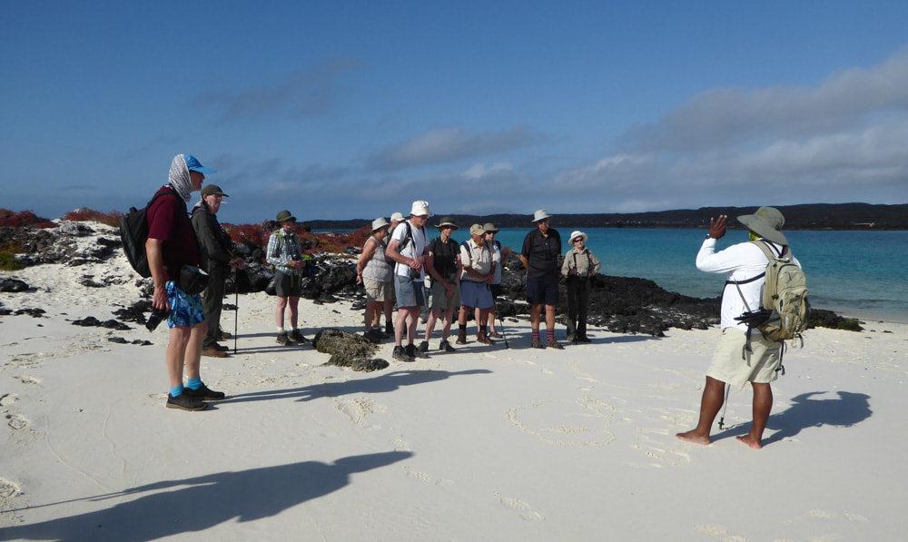
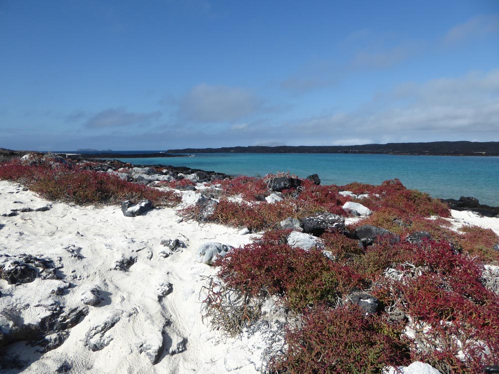
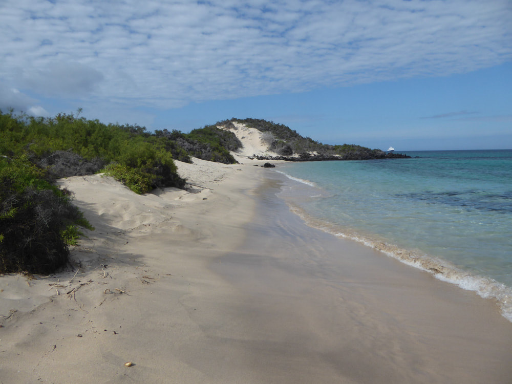
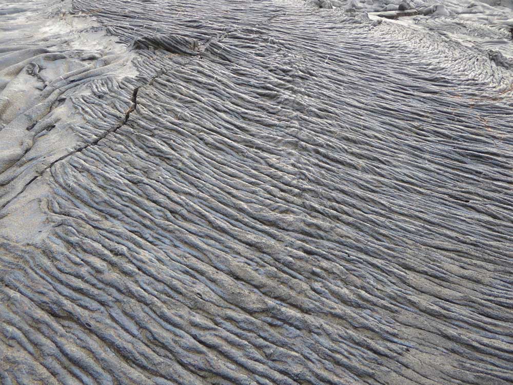
Below is a gallery of scenic images from Sombrero Chino - click on an image to enlarge and scroll through

|
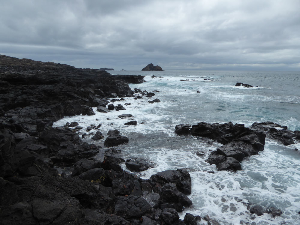
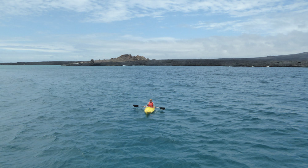
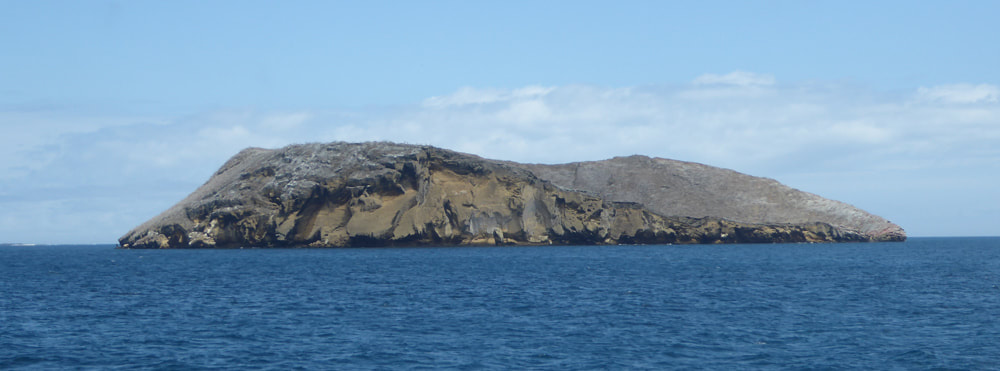
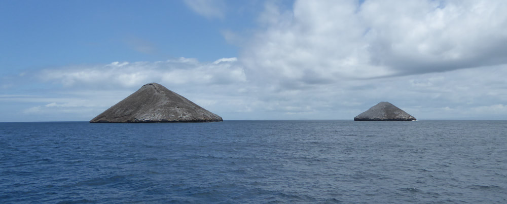
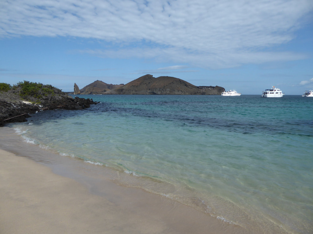
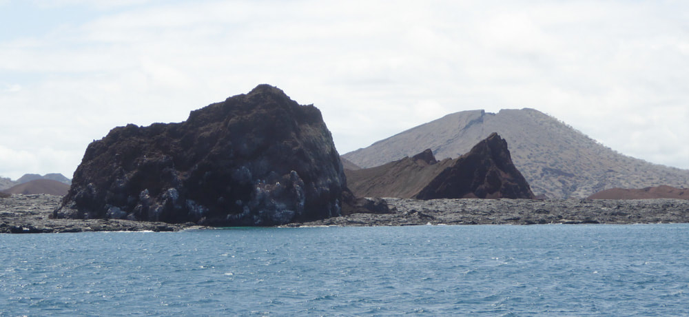
We stayed in this area after our shore visit. Most people went for a panga ride while I went kayaking. We all had close encounters with Galapagos Penguin. We cruised a little further north along the rocky coast of Santiago to a landing site at Sullivan Bay - close to the island of Bartolomé, (both named after Bartholomew Sullivan, the first lieutenant on HMS Beagle). We returned to visit Bartolomé on Day 18. En route to Santiago we passed several volcanic emergent rocks, some of which are shown below. |
|
|
|
|
Before landing at Sullivan Bay some of us, including Alison (evidence provided below), enjoyed some time snorkelling.
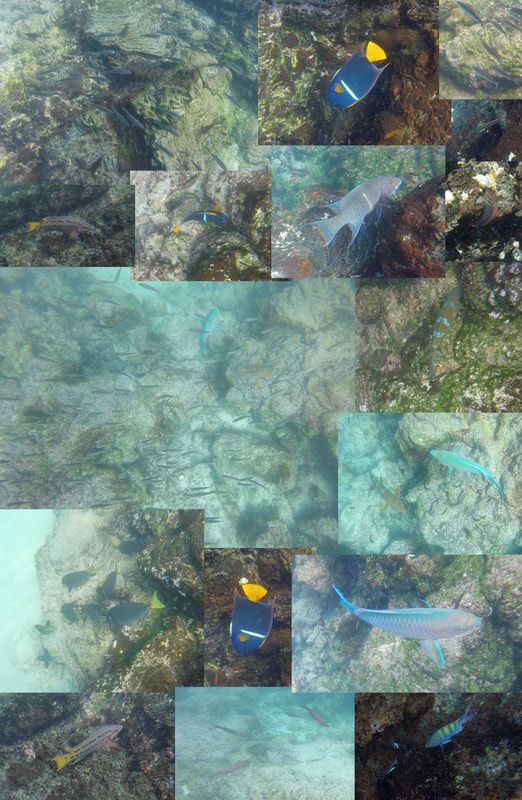
Right is a montage of Go-Pro images of some of the fish seen. 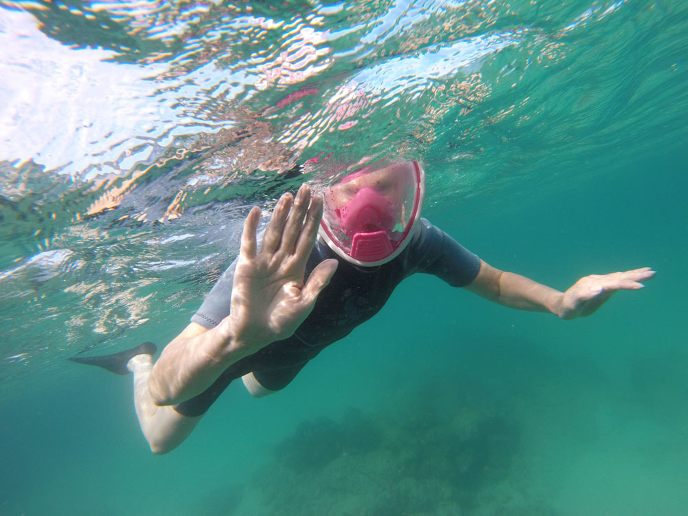
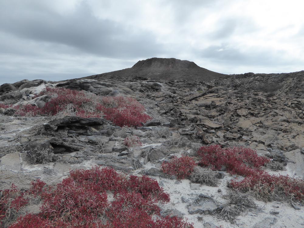
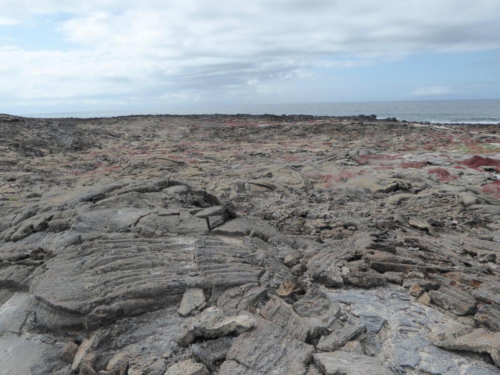
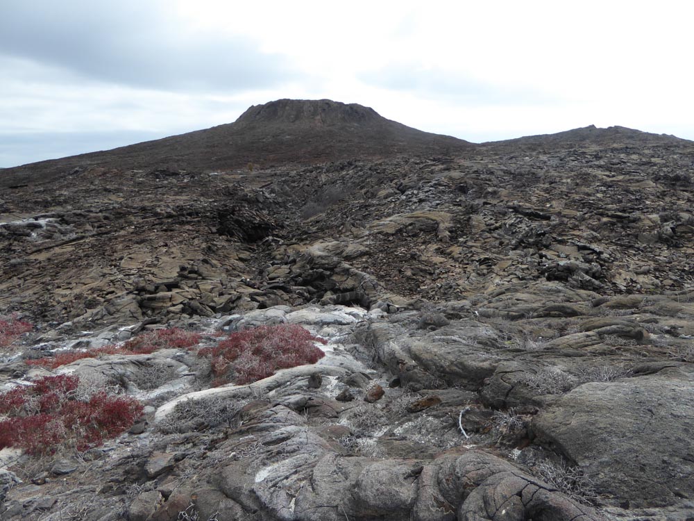
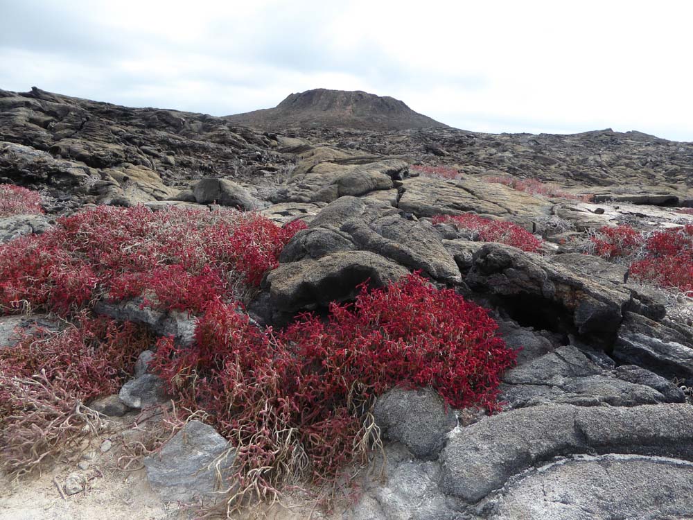
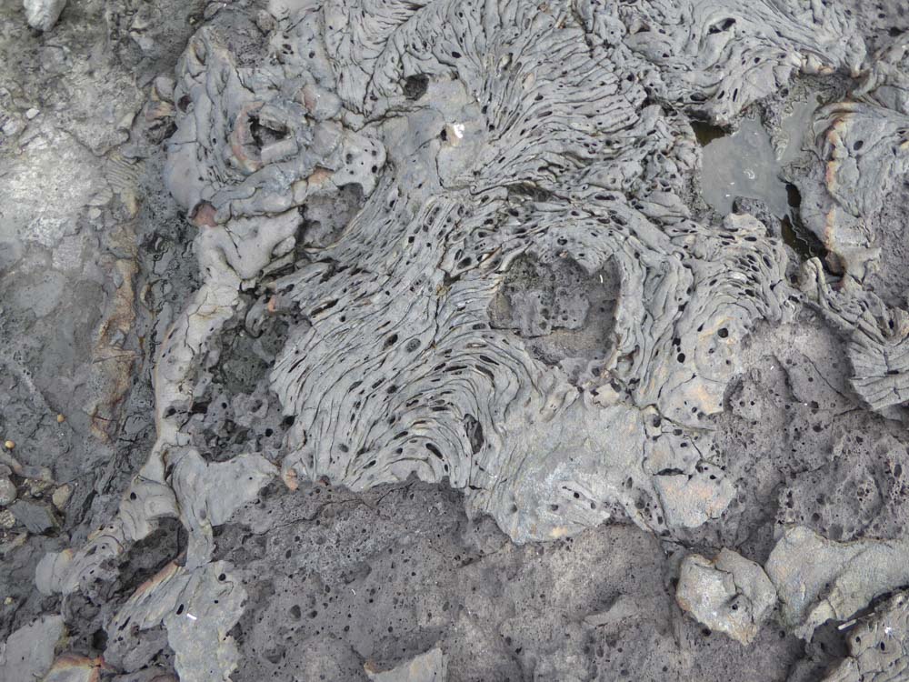
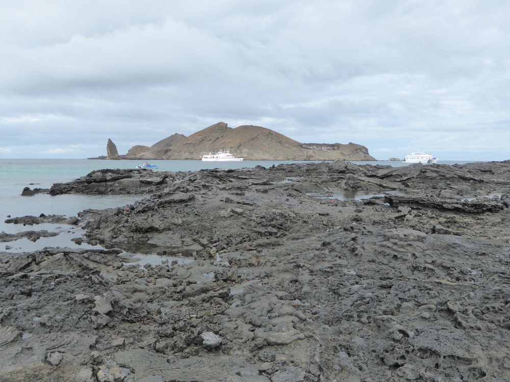
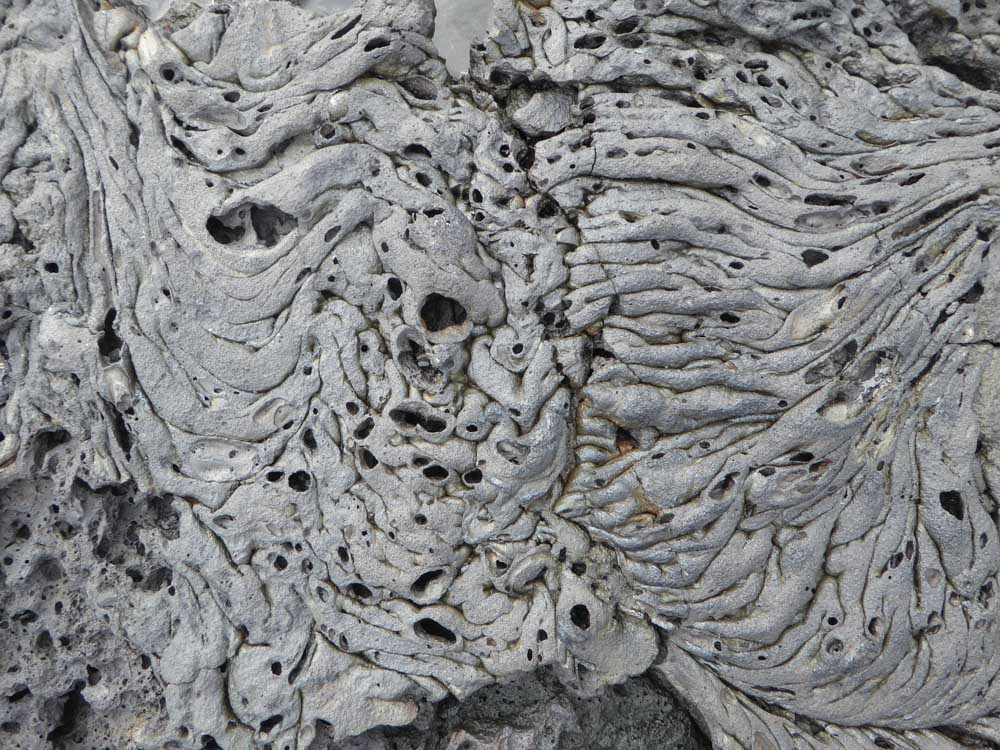
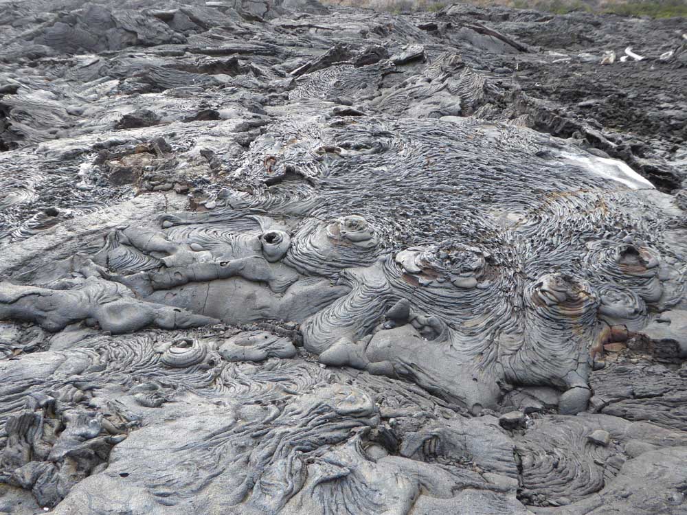
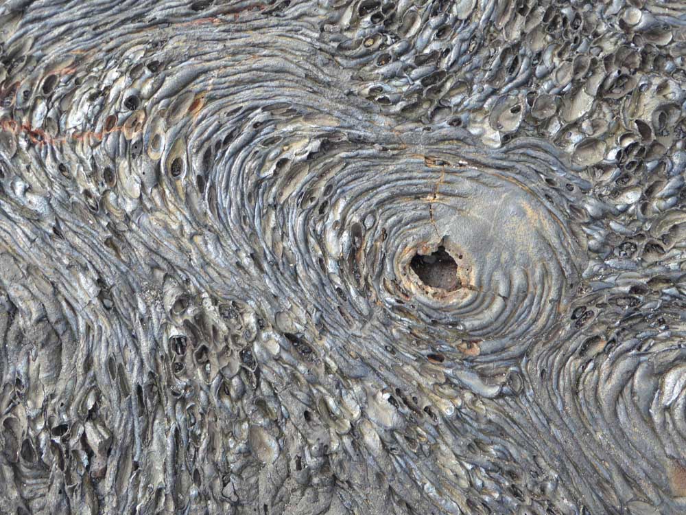
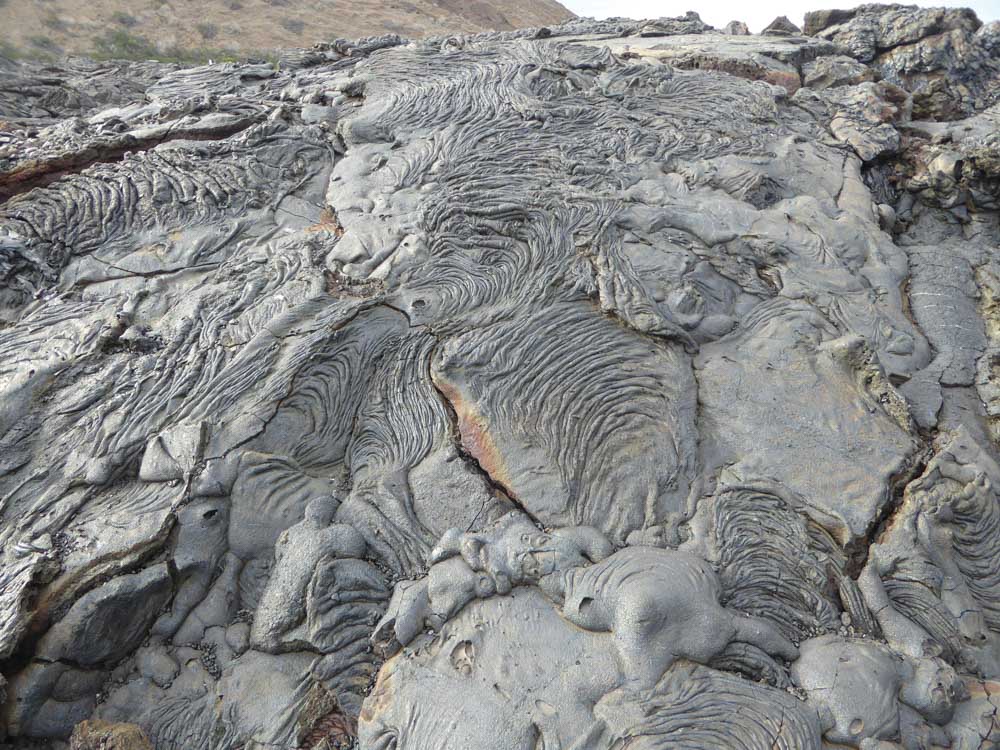
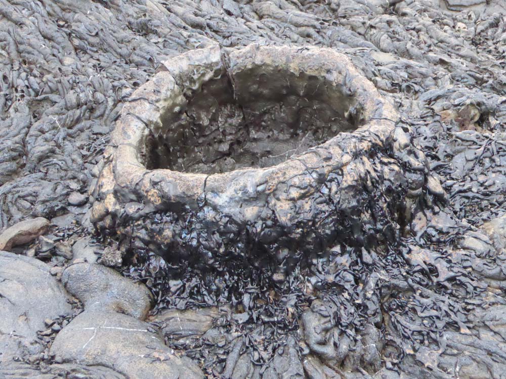
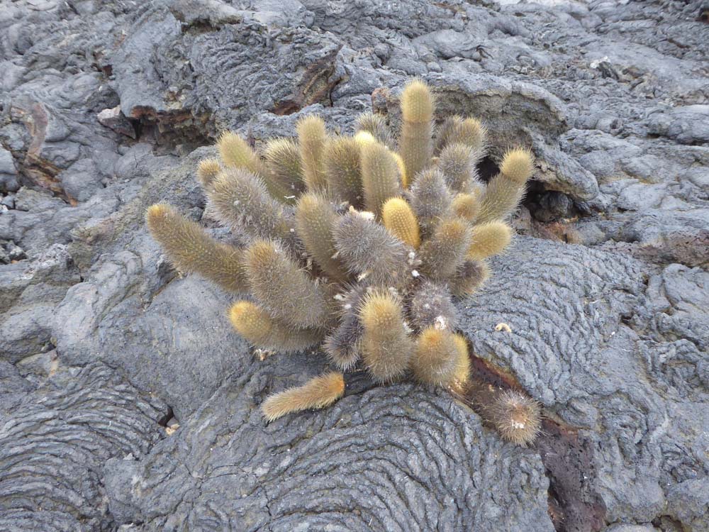
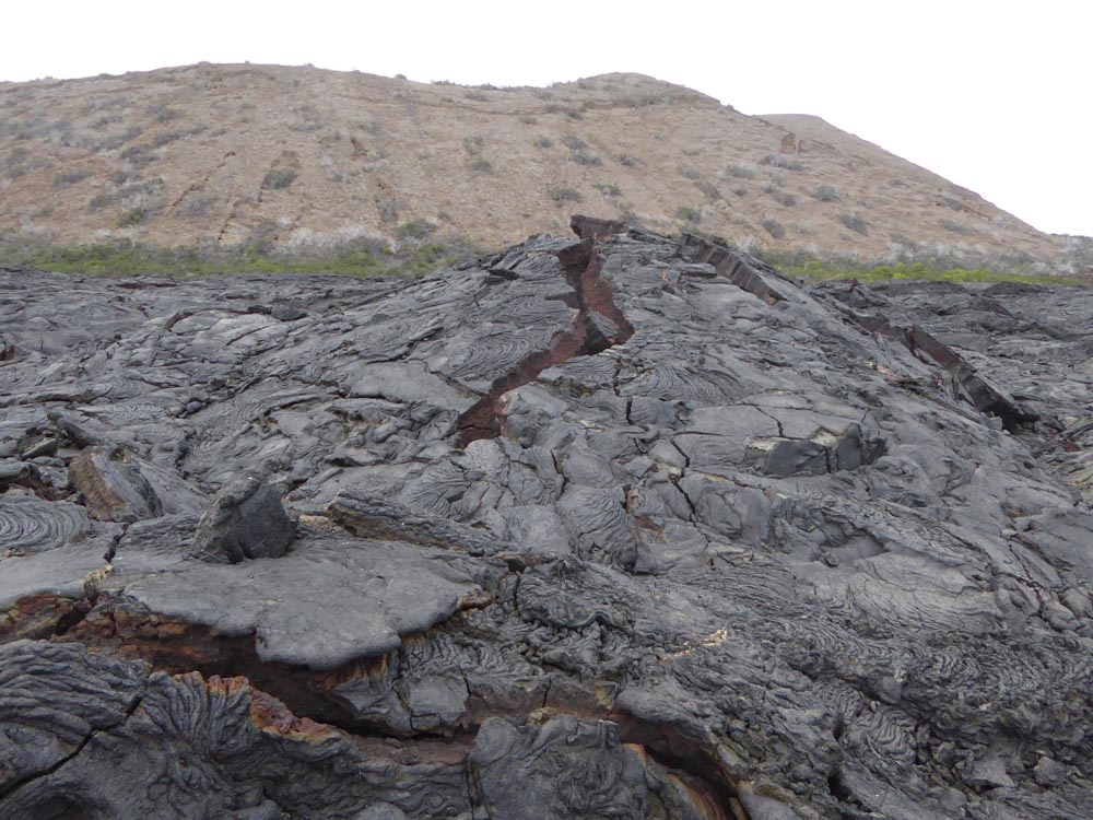
We had a dry landing on rocks by the sandy beach of Sullivan Bay. There is a walking trail from here that took us over a large black lava field, originating from an eruption in 1889. The lava here looks very fresh and shows impressive examples of pahoehoe (ropy) lava and cinder cones. We could also see two species of early colonising plants (Mollugo crockeri and Lava Cactus) - but is was notable that even 130 years after the eruption there was almost no vegetation here, these plants being very few and far between. There was little in the way of other wildlife here. A gallery of images from the lava field is shown below. Click on an image to enlarge and scroll through. Bartolomé island can be seen just off-shore in some of these images. |
|


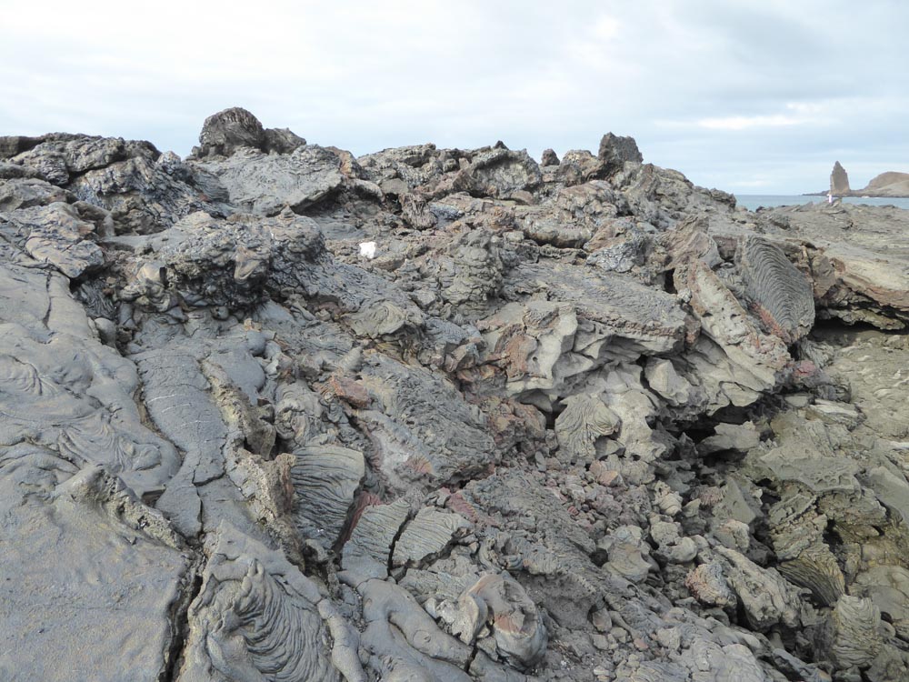


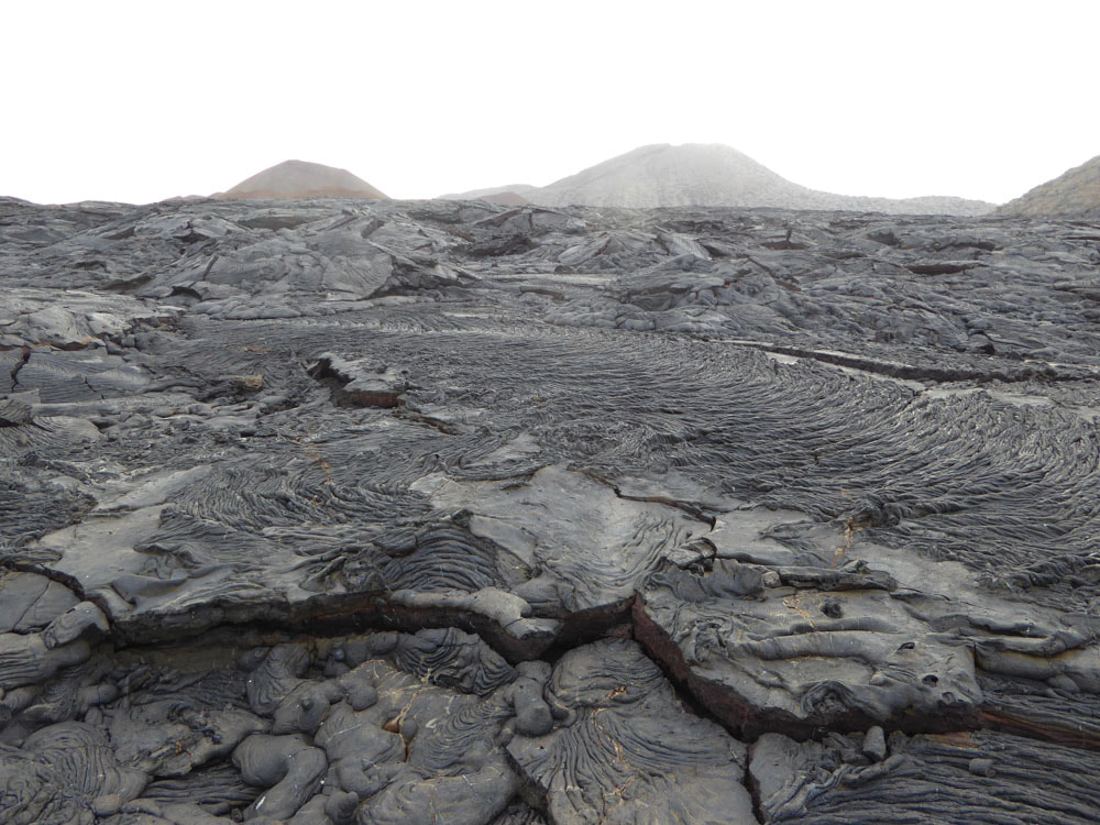


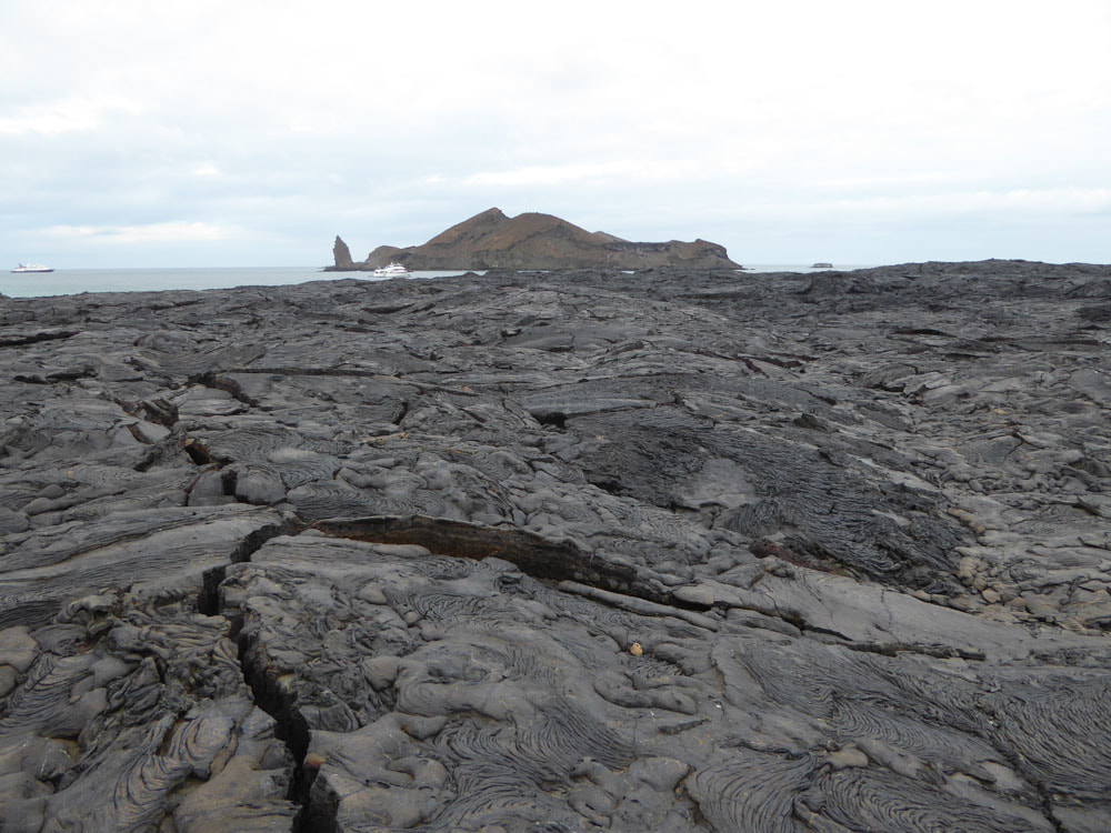

View of the lava field and the volcano from which it erupted
