Carn an Fhidhleir (994m) and An Sgarsoch (1006m) - 2 Munros - 21/09/2019
Distance: 42km (~28km on bike); Ascent: 1059m (~200m on bike); Time: 7h
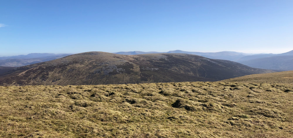
Carn an Fhidhleir from An Sgarsoch
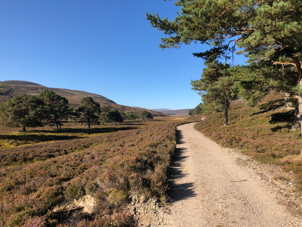
I wouldn't normally take on two major expeditions in consecutive days - but the conditions were too good not to take advantage of, and I was quite surprised at how little damage yesterday's adventure had caused to my fitness. This was a real journey into the wilderness - these two Munro's are ~14km from the road at Linn of Dee. Much of the journey, as far as the ruined Geldie lodge is on a good track, albeit with several river crossings for which wet feet were an inevitability. The track follows the River Dee and then the Geldie through a relatively broad valley floor, with no real hint at which hills I was actually headed for until many km had been travelled. Once at the ruined Geldie lodge a good but narrow stalkers track continues on to just past the start of the Munro ascent walking loop - I cycled to that point. Yesterday I didn't see anybody until I was well on my way back; today (being Saturday) I passed two cyclists on the way there, and 5 walkers on the circuit. The path fizzles out as the boggy fissured ground crossing the Allt a Chaorainn is reached; there is an indistinct path once the true ascent of Carn an Fhidlheir is started but this is soon lost in the steep heather slope. The rise to northern edge of the ridge through this steep pathless terrain was distinctly hard work, but once near the ridge there was a surprisingly good track leading to the summit on not quite so steep a slope. From the summit it was possible to really stride out for 2 or 3km to the beleach between the two hills, losing 300m in altitude in the process. I found an indistinct path out of the boggy fissured ground ascending to An Sgarsoch, but either I was lucky or I had a good sense of where a path should be if there was one - (at least 3 of the other walkers did not find it). In any event I found this ascent slightly easier. A path continues on from the top of An Sgarsoch and it would be easy to just follow it (and then get quite lost, I suspect). For this route, turn north and make a pathless descent towards Scarsoch Bheag. There is a path that curves around the left (west) side of this hill; it fizzles out before return to the start of the loop, but the path you are heading for clearly visible by then. Once back at the bike I just had the ride out to do, complete with its river crossings. A tiring but very enjoyable day in the wilderness.
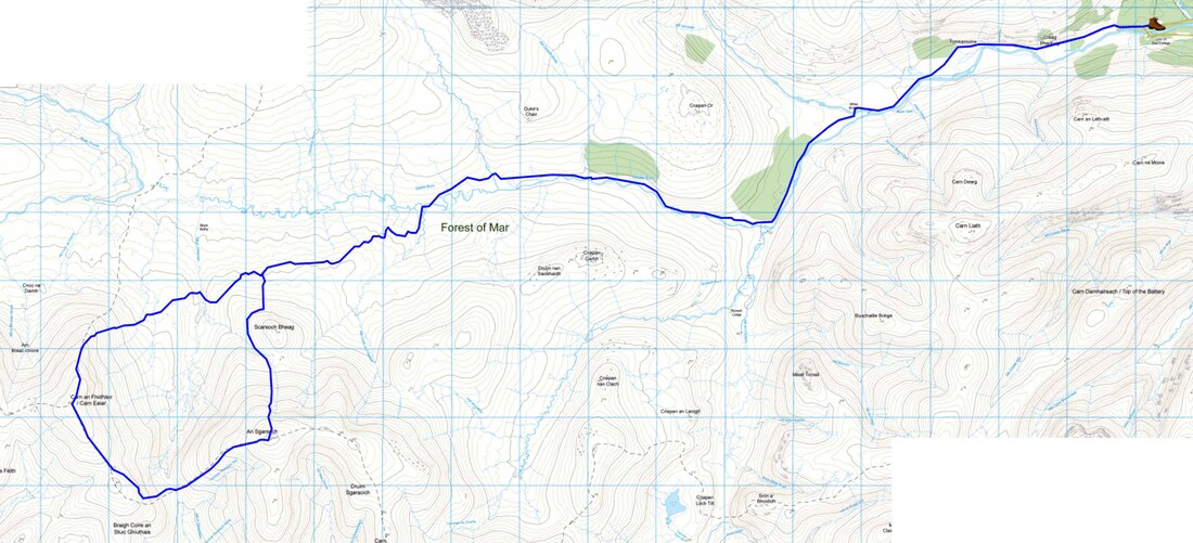
Walk Highlands route
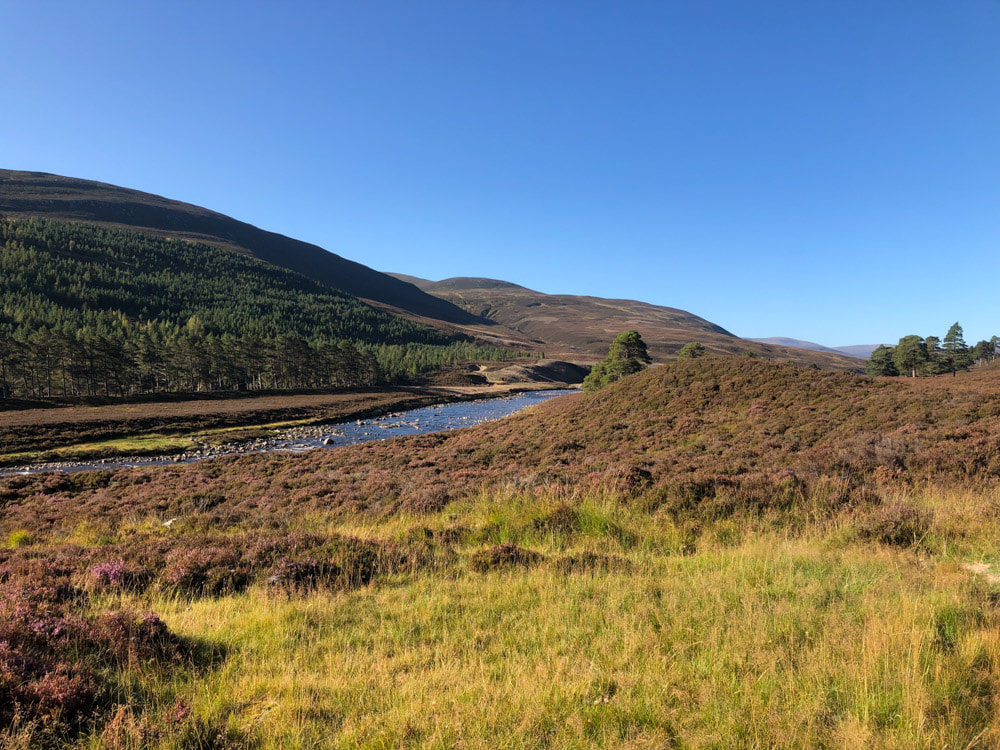
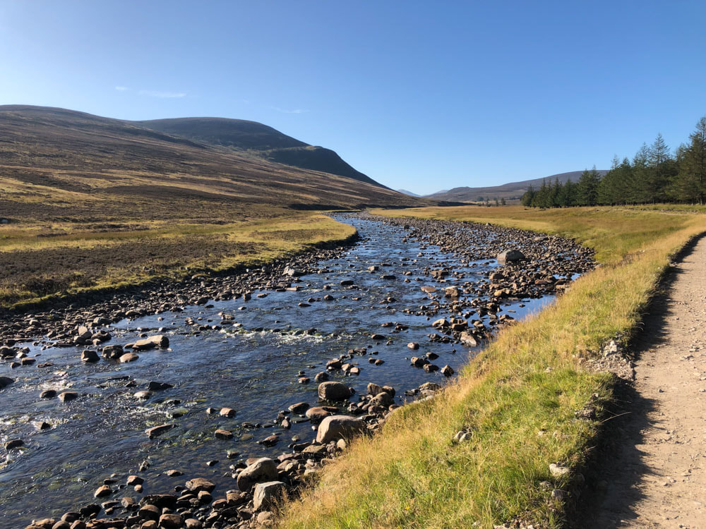
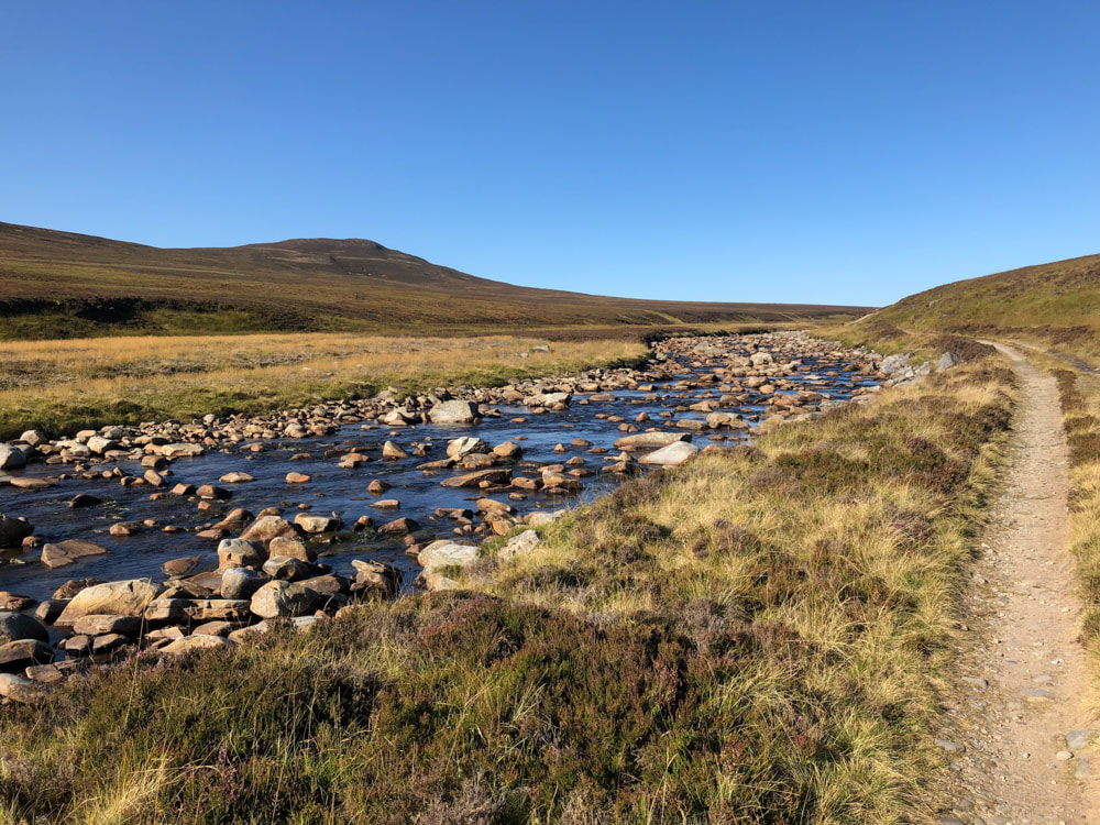
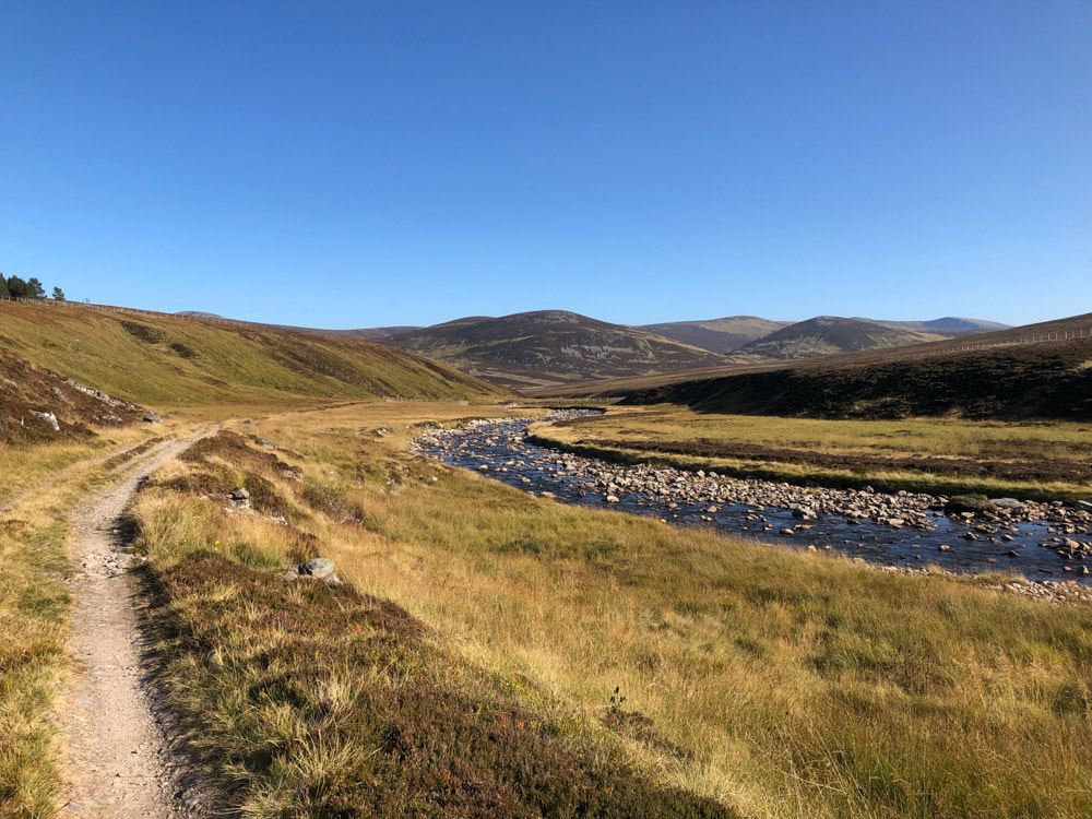
09:53 River Dee ~2km from Linn of Dee
|
|
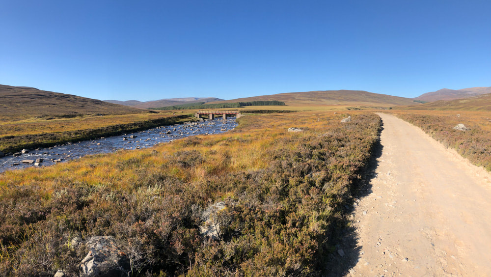
10:12 The White Bridge over the River Dee ~4.5km from Linn of Dee
|
10:24 2 cyclists and an old buildinmg ahead as the track leaves the Dee to follow the Geldie ~6.5km from Linn of Dee
|
|
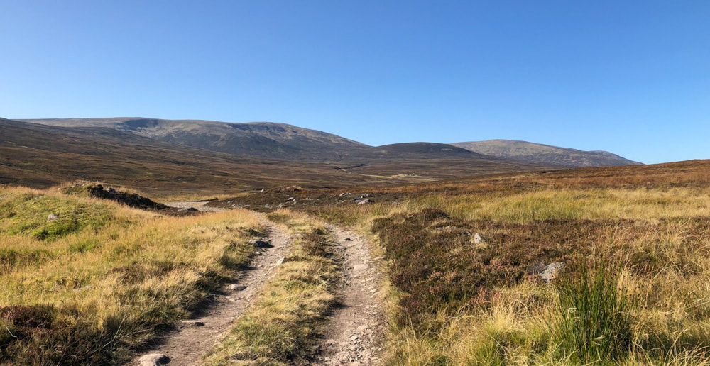
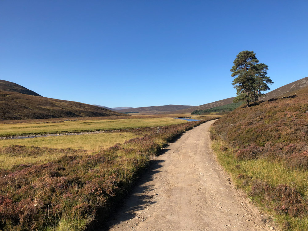
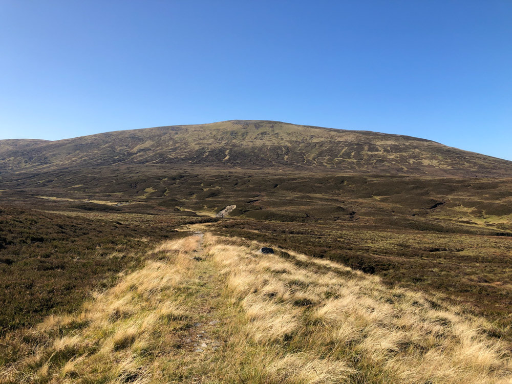
10:50 The two Munro's come into view
|
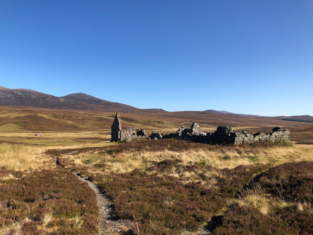
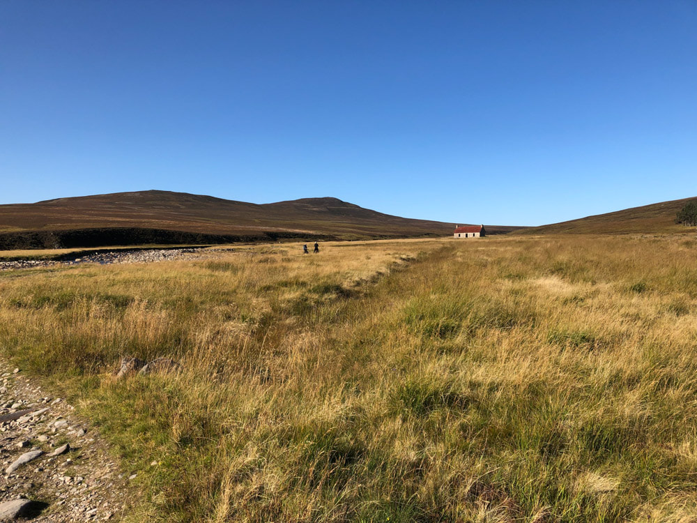
11:03 Ruins of Geldie Lodge - end of the track and start of the stalkers path ~12km from Linn of Dee
|
|
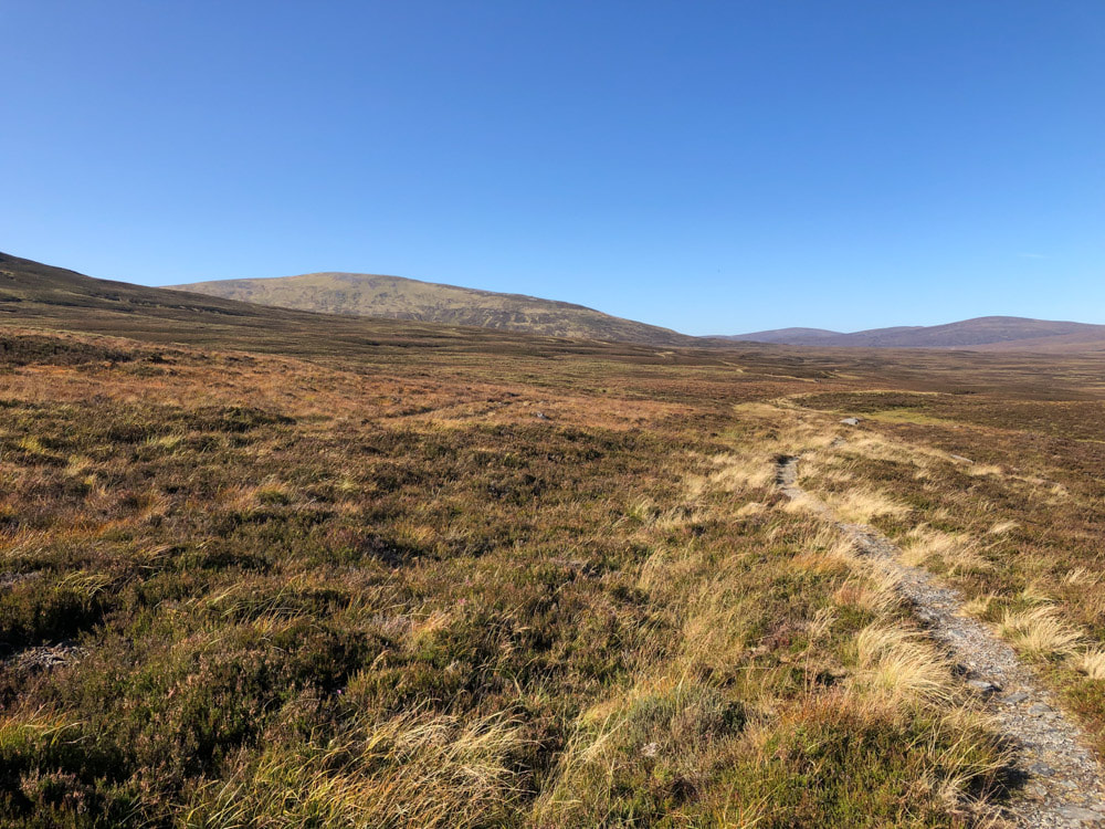
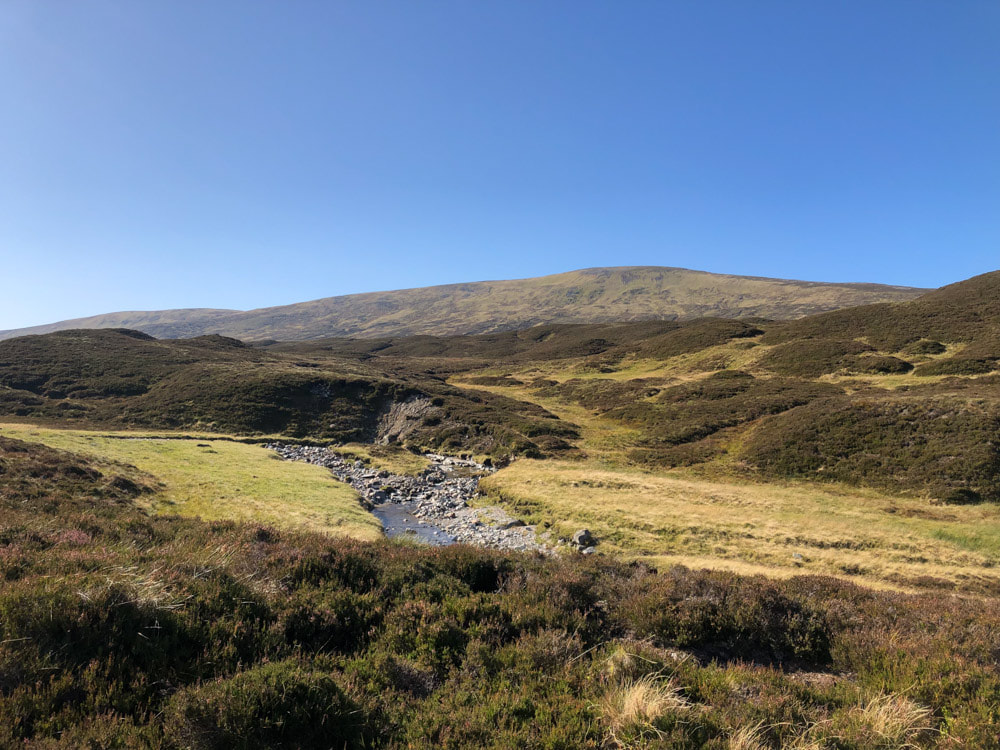
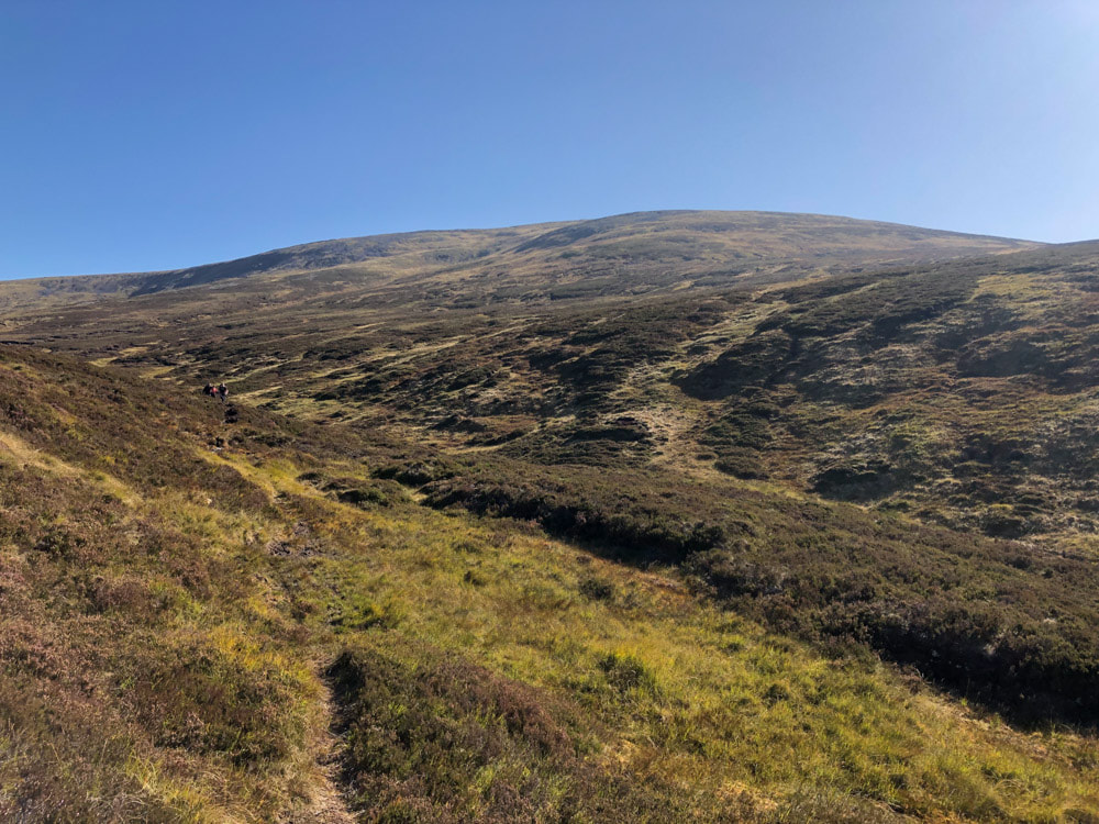
11:53 Now on foot, Carn an Fhidhleir and the boggy ground to cross to get to it lie ahead
|
|
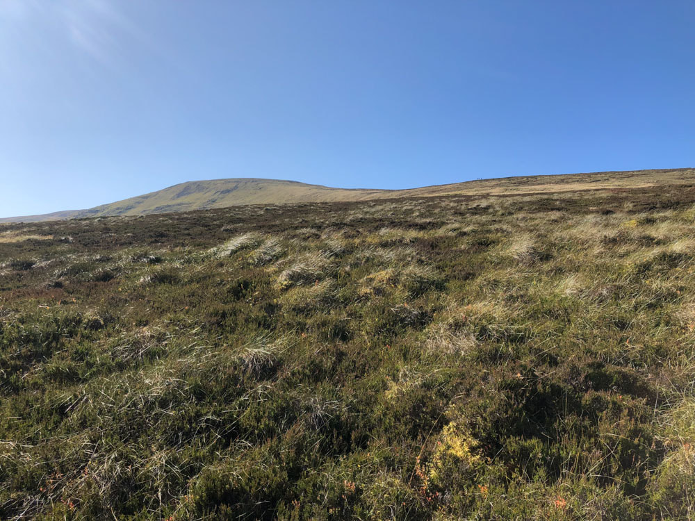
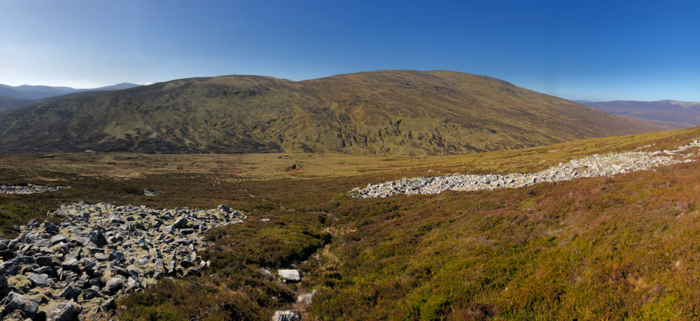
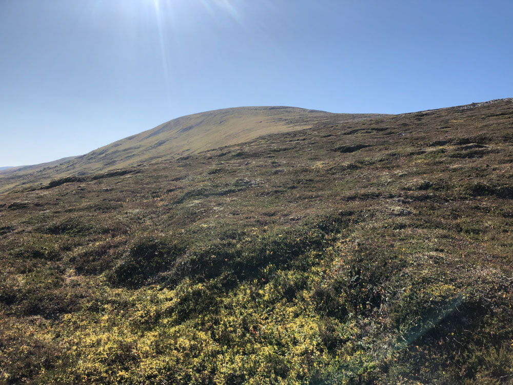
12:32 Steep pathless heather and grass slope to reach the summit ridge (on which 3 walkers are just visible)
An Sgarsoch from the ascent of Carn an Fhidhleir
Carn an Fhidleir
|
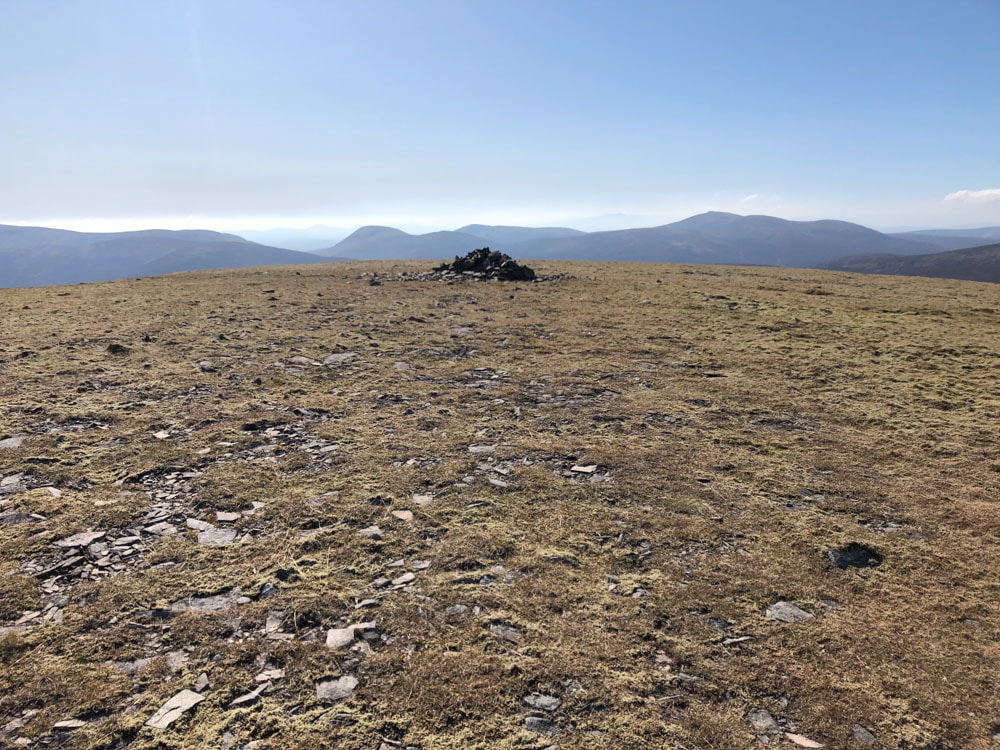
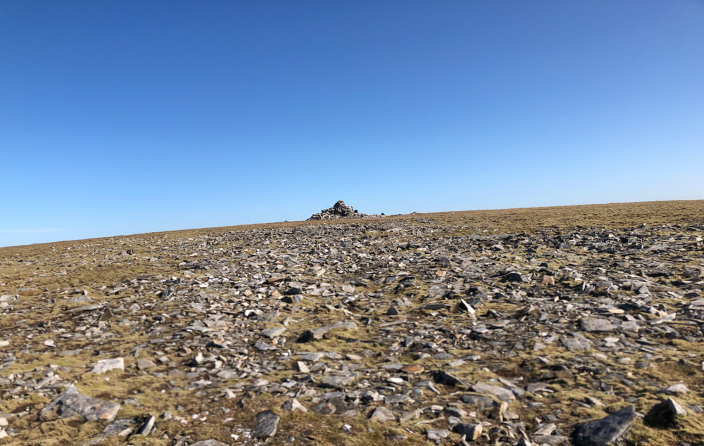
13:06 Summit of Carn an Fhidlheir
|
An Sgarsoch from the summit of Carn an Fhidlheir
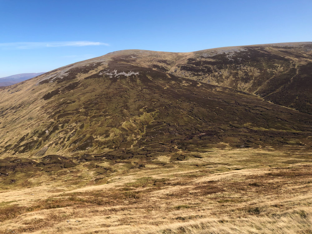
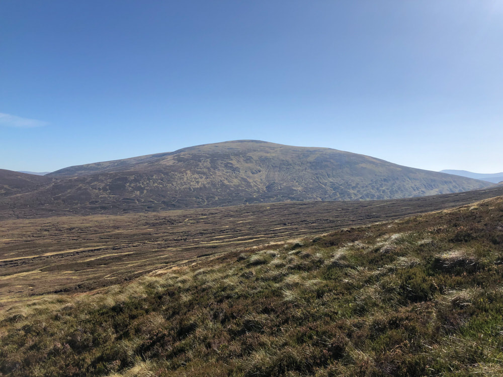
13:27 An Sgarsoch from the descent of Carn an Fhidhleir
14:27 Summit of An Sgarsoch
|
14:54 Looking back at Carn an Fhidlheir from the track around Scarsoch Bheag (the three walkers previously see are visible on the track)
|
16:03 Back on the bike and well on the way back to Lin of Dee
